The 30 Minute Rule begins November 19 at 7:00 PM EST. An Initial Bid Must Be Placed By November 19 at 6:00 PM EST To Participate After 6:00 PM EST
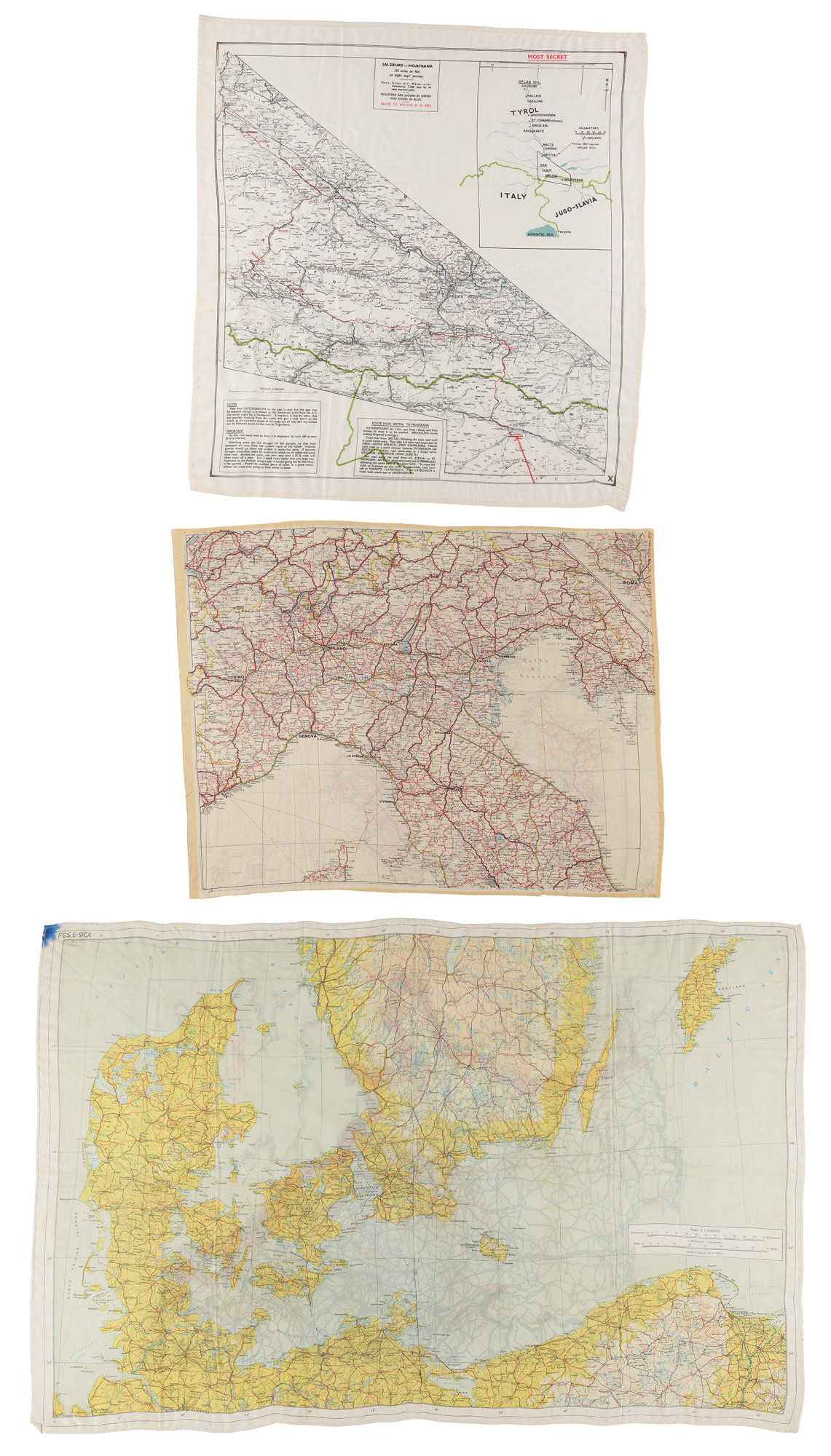
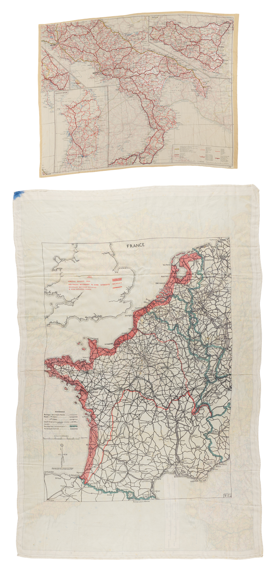
Group of three World War II silk escape maps from the European theater, printed for Allied airmen, agents, and escaping prisoners of war operating in France, Germany, Austria, and Italy. Covering escape routes to neutral Spain, Switzerland, and Sweden, and over the Alps into Yugoslavia, these light, water-resistant maps could be sewn into flight jackets or hidden in clothing, giving a downed airman or escaped prisoner his best chance of reaching safety. A desirable grouping from a collection assembled when such maps rarely appeared on the market.
France / Denmark and the Baltic: Double-sided map, 19.5 x 30, coded “9.C.(a).” The France side, at 1:2,350,000, extends into Switzerland and northern Spain. A striking red overprint marks the “Coastal Defence Area,” the “Southern Boundary to Zone Interdite,” and the “Boundary between Occupied & Non-Occupied France.” The reverse maps Denmark, southern Sweden, and the German Baltic coast, guiding escapers toward neutral Sweden.
Salzburg to Mojstrana: “Most Secret” map, 20.5 x 21.5, charting an escape route from Oflag VII-C at Laufen, near Salzburg, across the Alps to Yugoslavia: “135 miles on foot on an eight days’ journey.” An inset traces the full route, while the main map details the final leg over the Karawanken range, with printed directions and fieldcraft, in part: “Avoid the smallest patch of snow, as a good mountaineer can trace your pedigree from tracks in snow.”
Italy: Double-sided map, 19.25 x 15, at 1:1,500,000, coded “J3.” and “J4.” One side covers southern Italy with insets of Sardinia and Sicily; the other covers the north from the Swiss frontier to Rome, including Istria and the Yugoslav border.
In overall very good to fine condition, with scattered wear such as creasing, light fraying, and foxing.

