The 30 Minute Rule begins November 19 at 7:00 PM EST. An Initial Bid Must Be Placed By November 19 at 6:00 PM EST To Participate After 6:00 PM EST
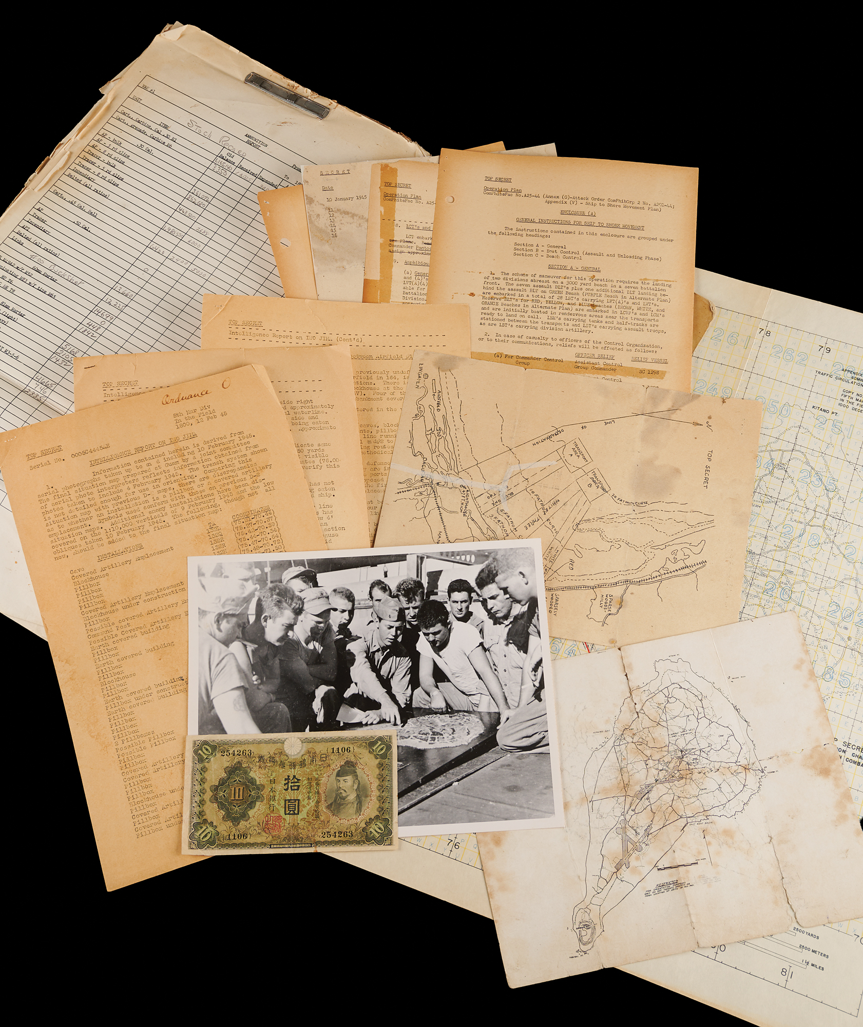
Archive of documents, maps, and related items from the 5th Marine Division’s planning and logistics files for the invasion of Iwo Jima, totaling approximately 130 pages. The archive runs from Top Secret pre-invasion plans and intelligence reports through daily ammunition stock records kept during the battle and the division’s post-battle ordnance report, and includes a smaller group of material from the January 1945 Lingayen Gulf landings on Luzon. Most of the papers are mimeographed or printed, many carry pencil working notes, and several bear ink signatures of division staff officers. The archive breaks down as follows:
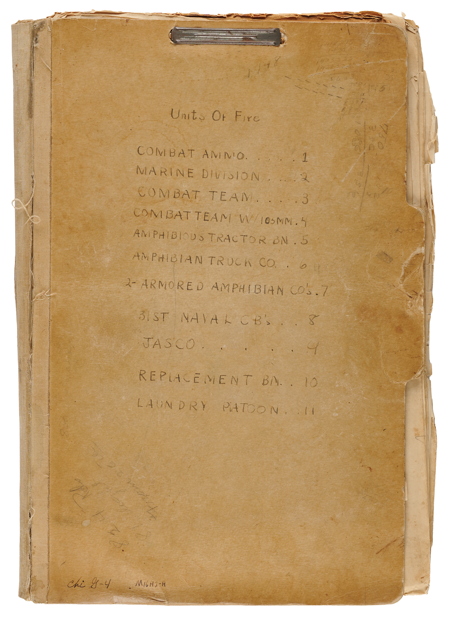
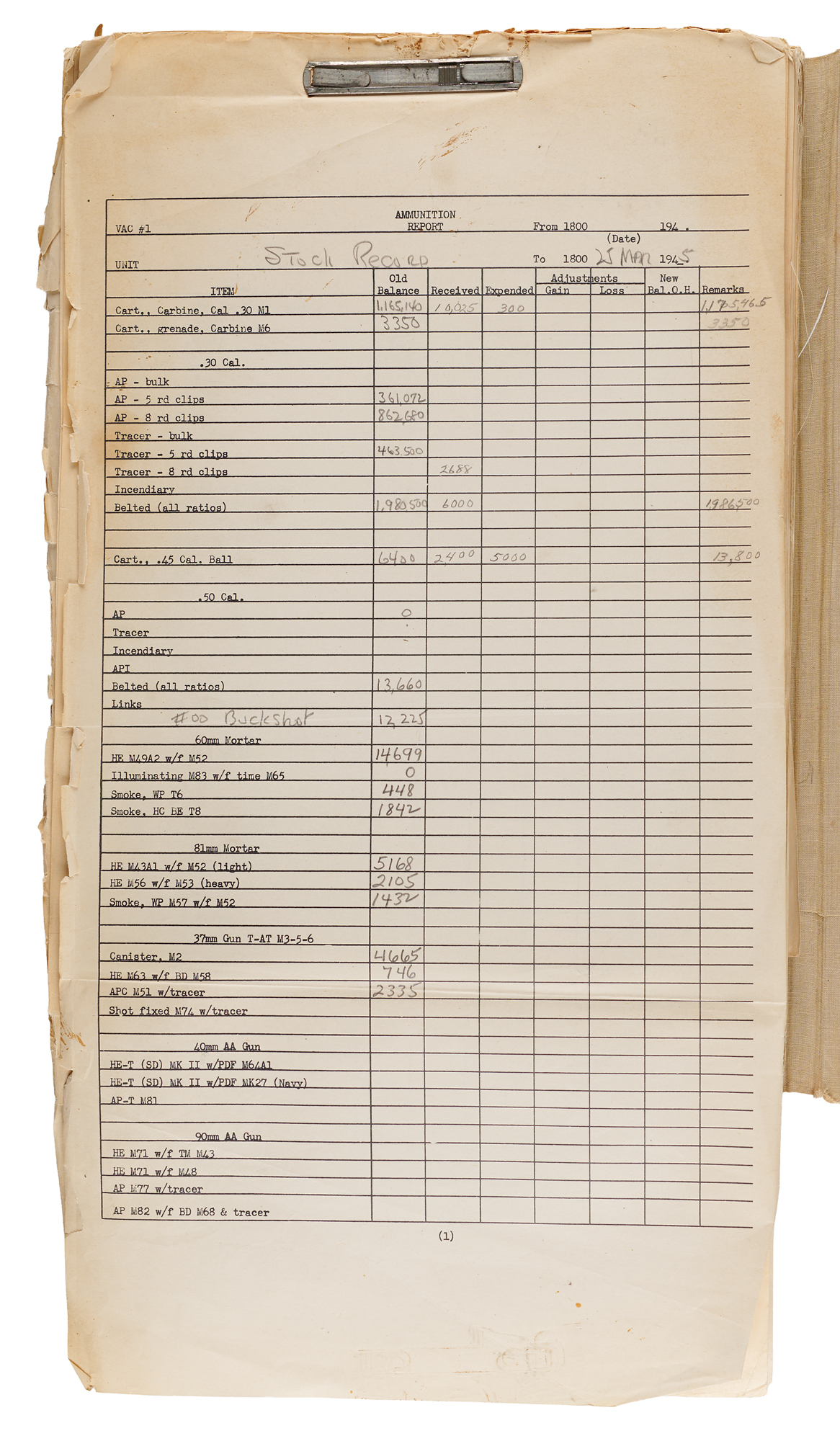
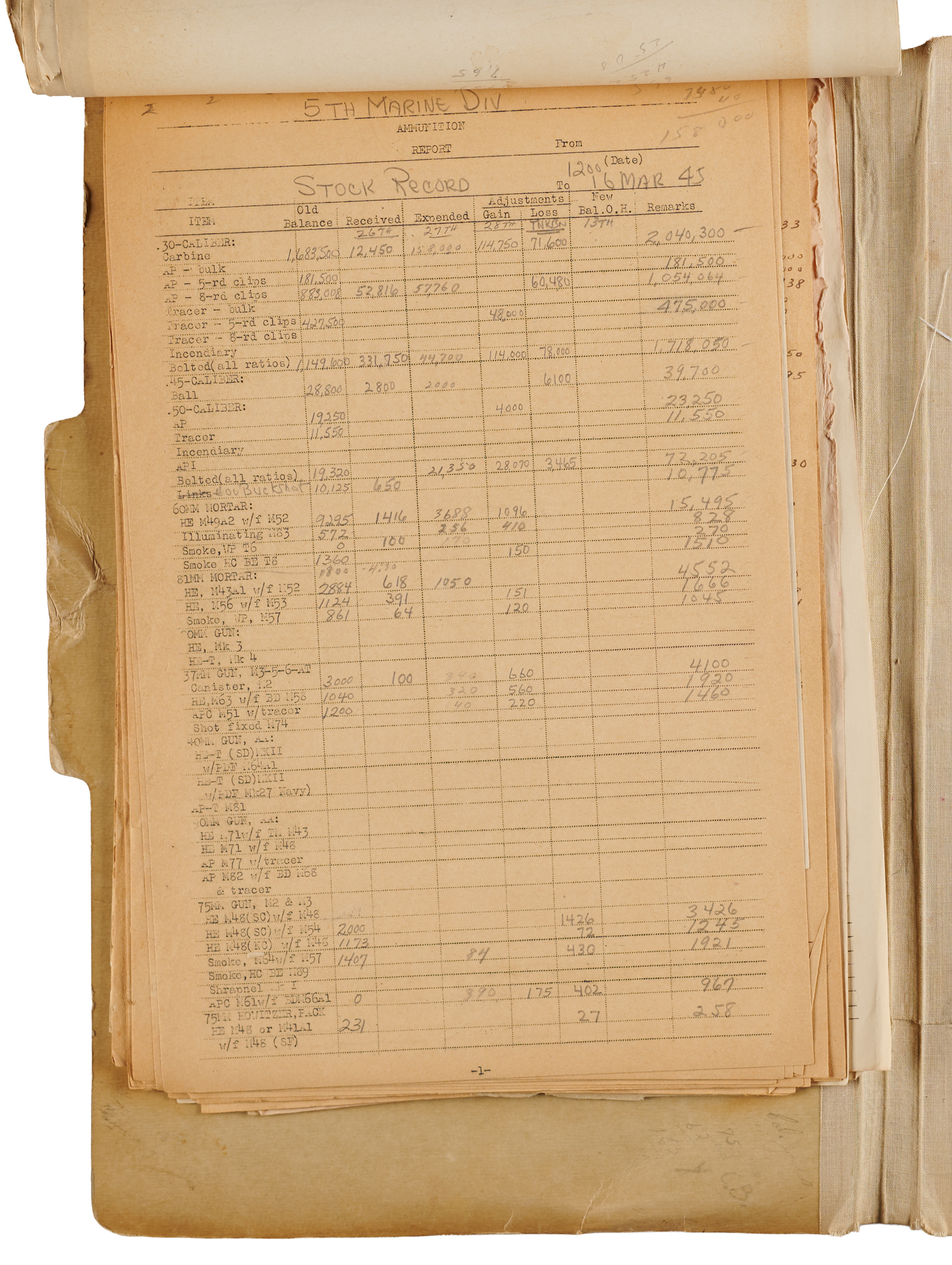
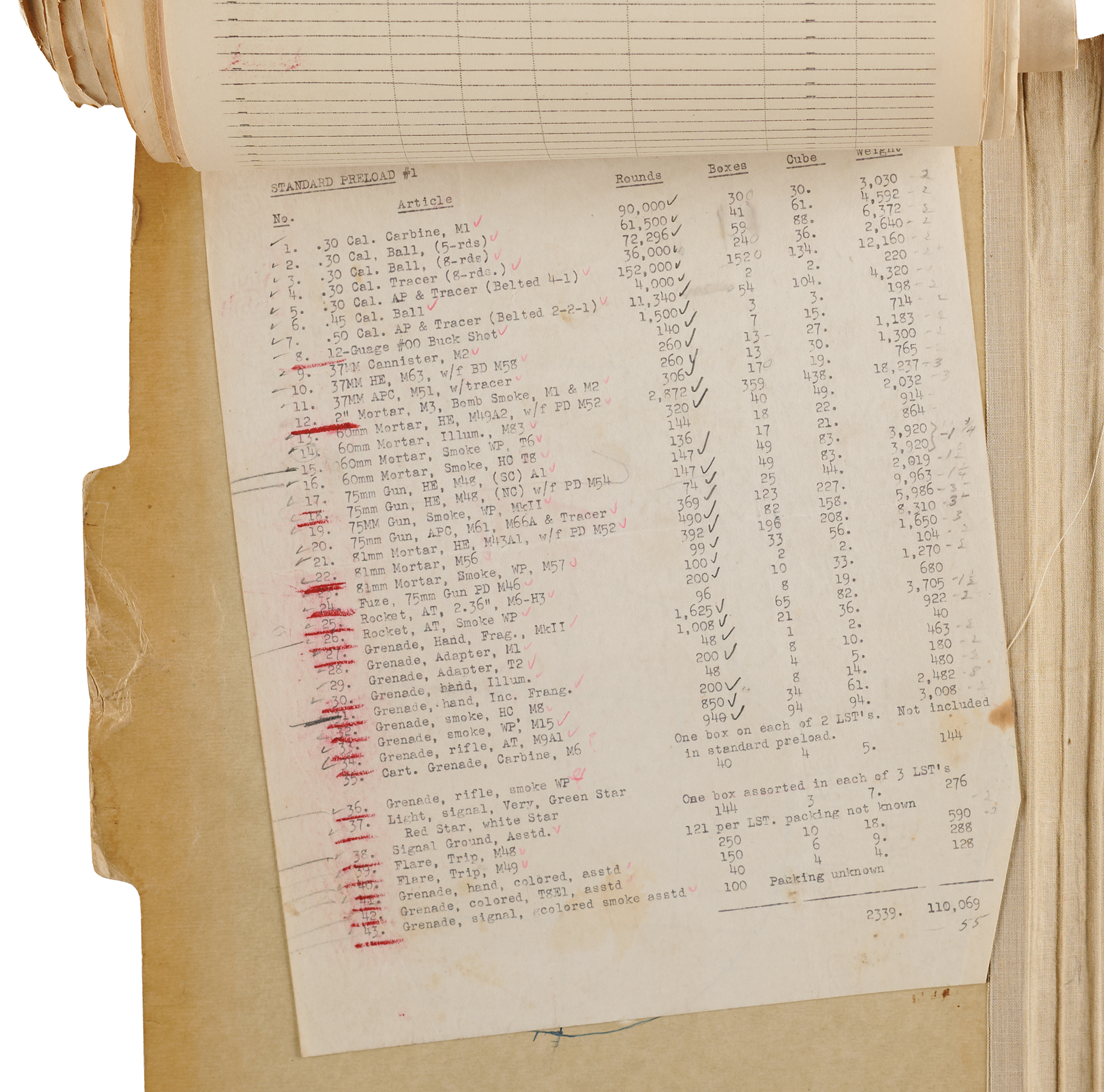
Units of Fire Binder: Kraft fastener binder with a cloth spine, its cover hand-lettered “Units of Fire” with an index of 11 sections (among them Combat Ammo, Marine Division, Amphibious Tractor Bn., 31st Naval CB’s, JASCO, and Laundry Platoon) and annotated “Chi G-4” and “Sgt. Thompson.” Bound inside is the division’s daily ammunition “Stock Record,” kept from February 27 through March 25, 1945, on a succession of typed and printed report forms, several headed “5th Marine Division” or “5th Mar Div.” Each report tallies every type of ammunition on hand, received, and expended, from carbine rounds to 105mm shells, with handwritten additions for “#00 Buckshot,” “Napalm, lbs,” and “Cylinders, Ignition.” On several sheets, the columns are relabeled in pencil for the 26th, 27th, and 28th Marines, the 5th Tank Battalion, and the 13th Marines, recording the ammunition drawn by each unit. The March 21 report alone shows 447,000 rounds of belted .30 caliber and 3,484 60mm mortar rounds expended. Also bound in are a typed unit of fire table for 155mm howitzers and guns and a “Standard Preload #1” listing the 43 types of ammunition loaded aboard the LSTs for the landing, checked off item by item.
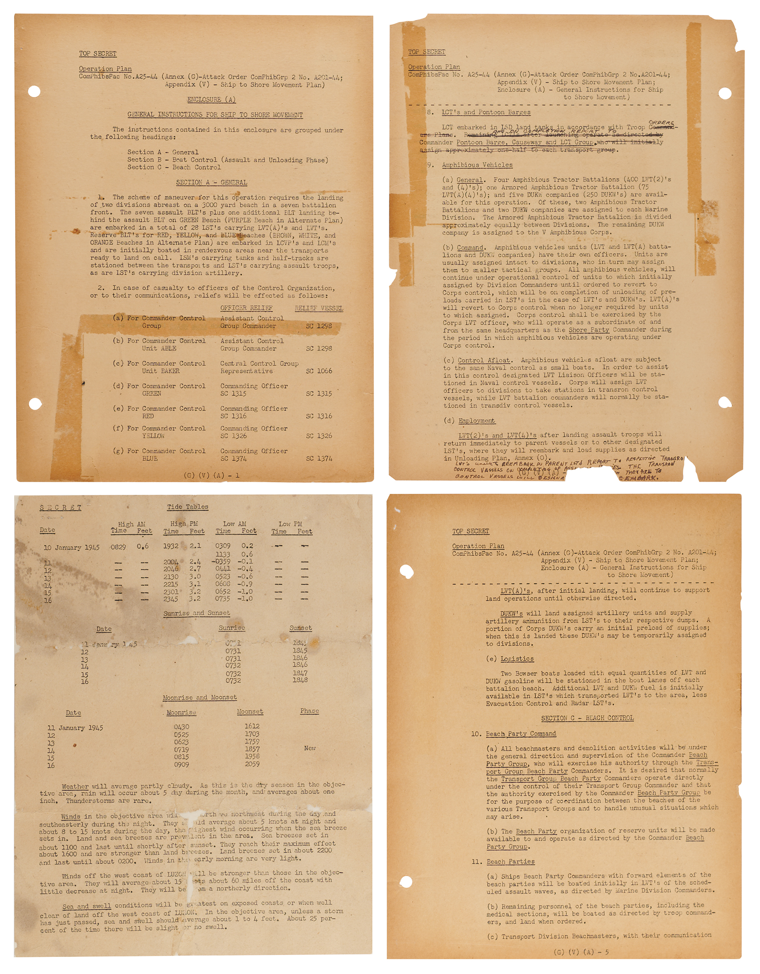
Ship-to-Shore Movement Plan: Top Secret “General Instructions for Ship to Shore Movement,” Enclosure (A) to Appendix (V) of Attack Order ComPhibGrp 2 No. A201-44, Operation Plan ComPhibsPac No. A25-44, six pages, running through the page marked “Last Page.” It sets out the landing of the 4th and 5th Marine Divisions, in part: “The scheme of maneuver for this operation requires the landing of two divisions abreast on a 3000 yard beach in a seven battalion front.” It details boat control, LVT and DUKW employment, LCI(G) rocket gunboat runs to the beach (“No rockets will be fired after H-6”), and beach and shore party command. Typed revision slips are taped in, and there are ink amendments in hand.
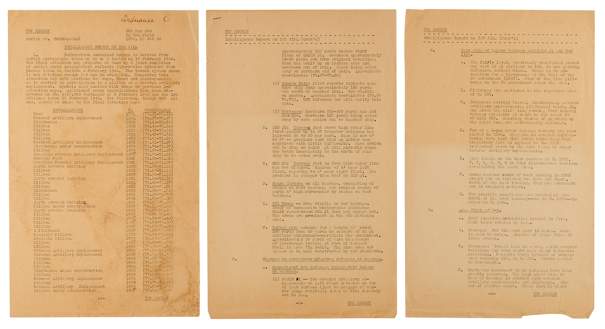
Intelligence Report on Iwo Jima: Top Secret, pages 2–6, issued “By command of Major General Rockey” and authenticated “Official” with an ink signature of Lt. Col. George A. Roll, the division’s D-2. It includes a coordinate table of Japanese pillboxes, blockhouses, and artillery emplacements, and a beach-by-beach update drawn from aerial photographs, in part: “Original briefings stated that the knolls immediately inland on eastern beaches did not house defensive installations. Many now have blockhouses, covered artillery emplacements or pillboxes.” It notes emplacements on Green Beach “situated to fire directly out to sea” and caves along the cliffs to the south. The distribution list names Combat Teams 26, 27, and 28.
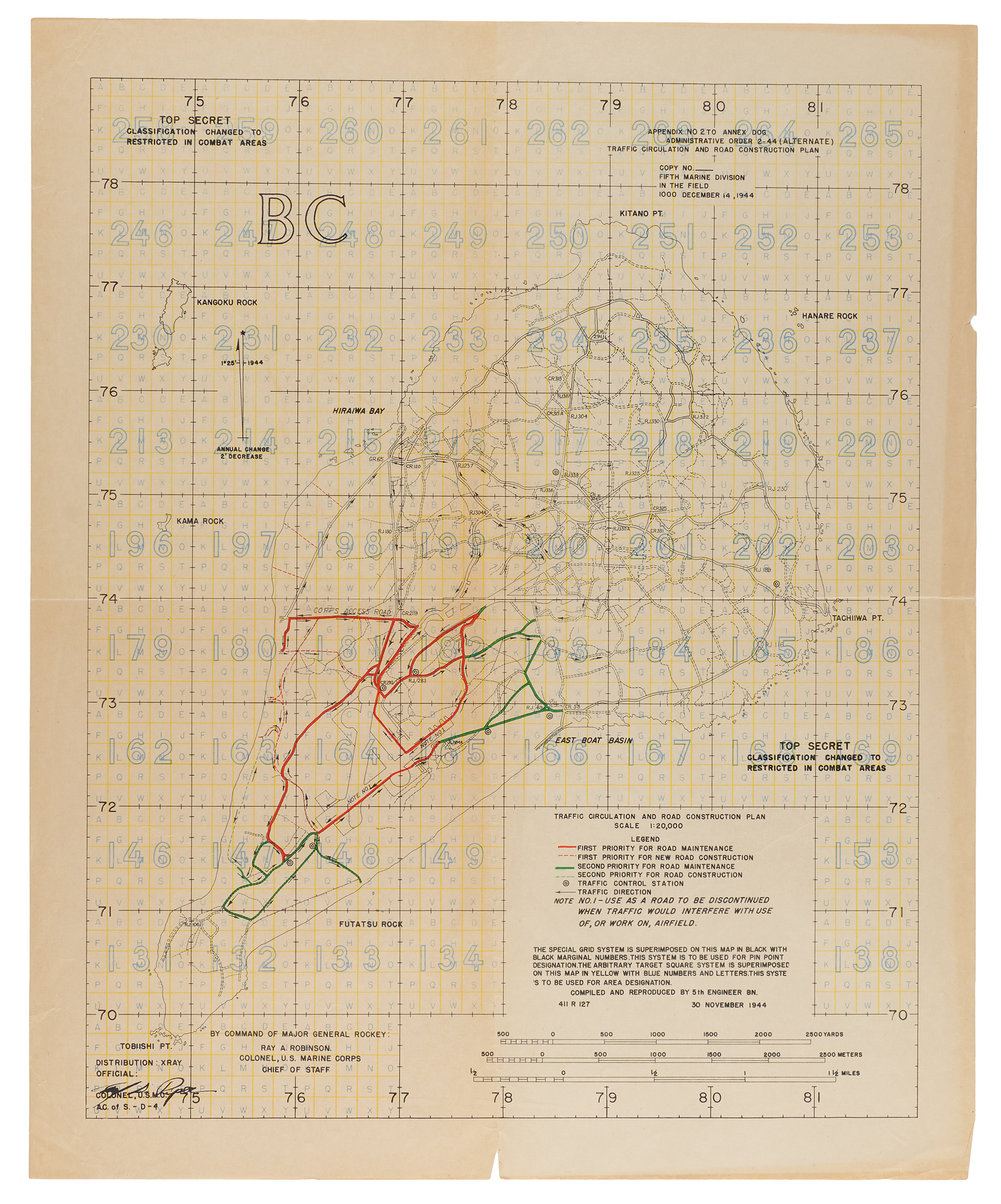
Traffic Circulation and Road Construction Plan: Top Secret color map, 16.25 x 20, “Appendix No. 2 to Annex Dog, Administrative Order 2-44 (Alternate),” dated December 14, 1944, compiled and reproduced by the 5th Engineer Battalion. Planned roads in the southern half of the island are overprinted in red and green on a gridded map. It is authenticated with an ink signature of the division’s D-4, [name], and each “Top Secret” marking reads “Classification changed to Restricted in combat areas.”
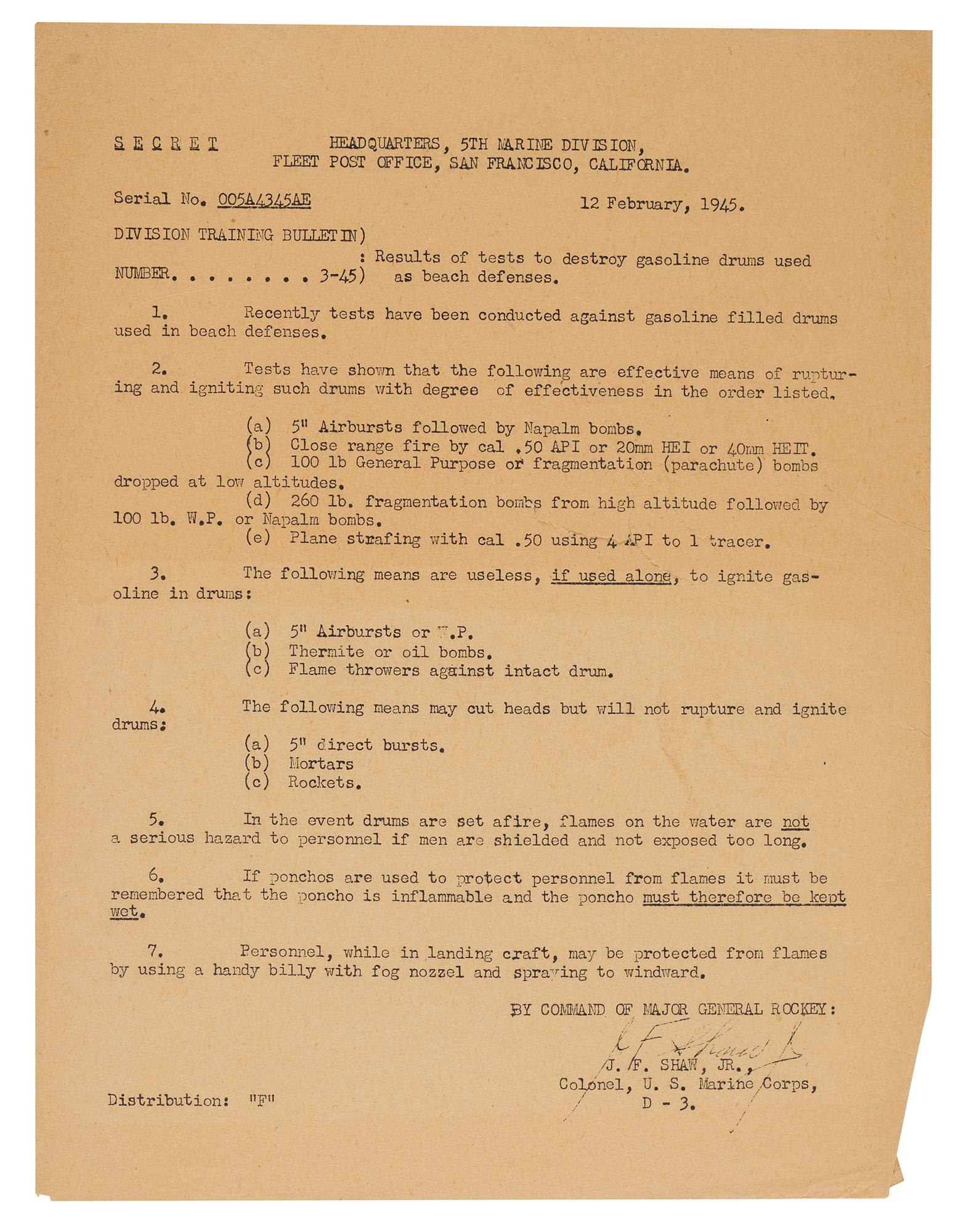
Division Training Bulletin No. 3-45: Secret, February 12, 1945, “Results of tests to destroy gasoline drums used as beach defenses,” signed in ink by Col. J. F. Shaw, Jr., D-3.
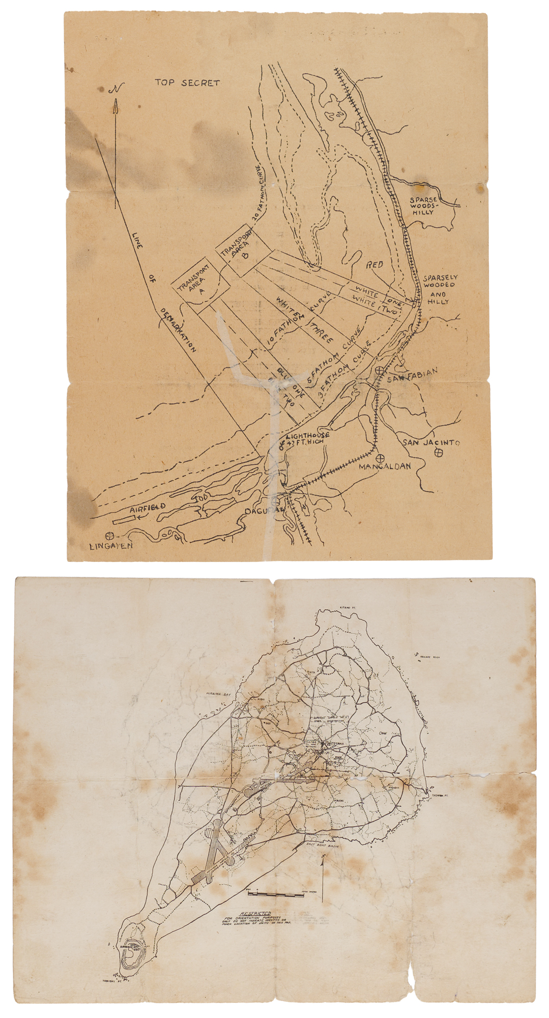
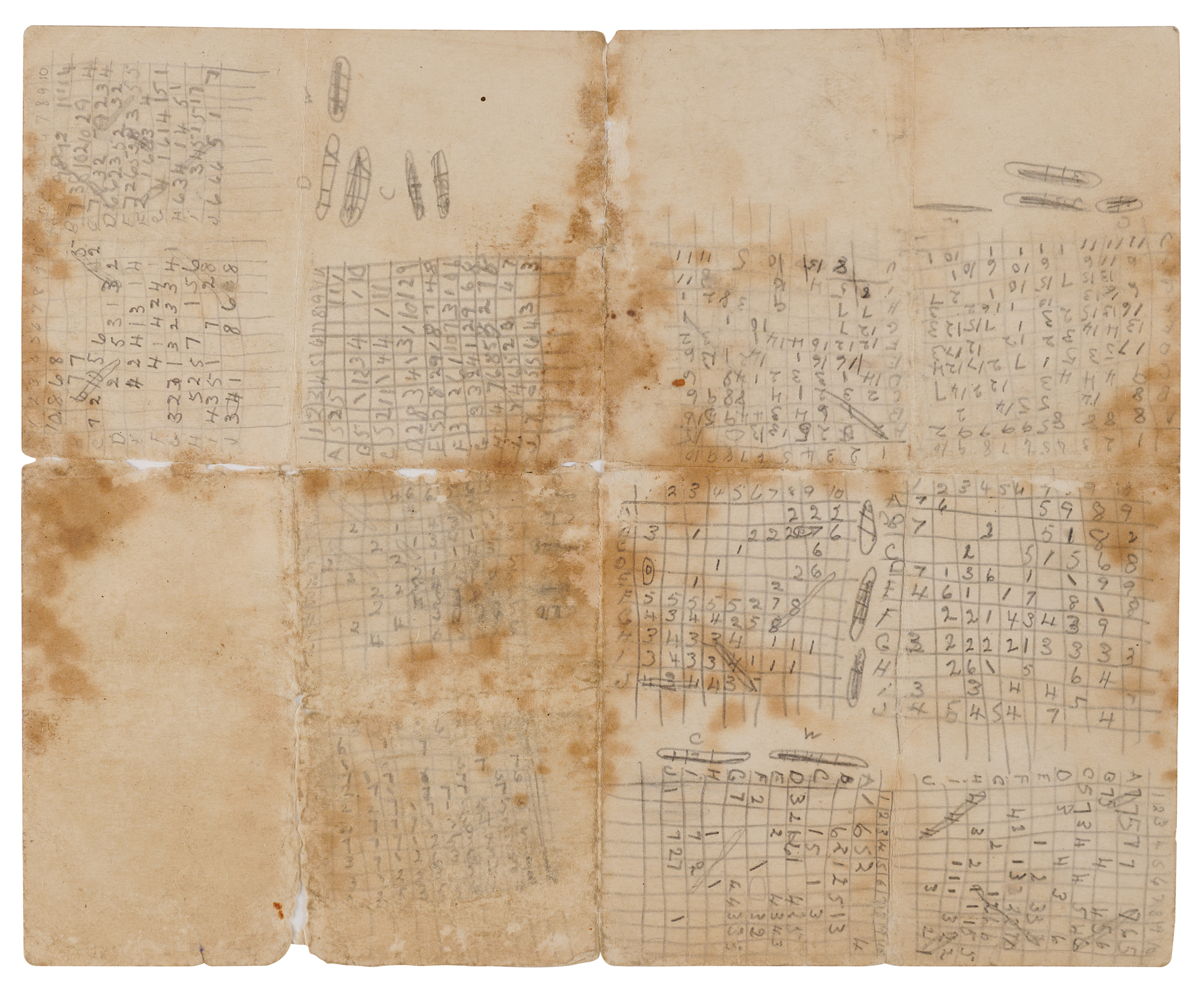
Orientation Map: Restricted printed map of Iwo Jima, 10 x 8, the reverse filled with pencil grids and ship sketches that appear to be a game of Battleship.
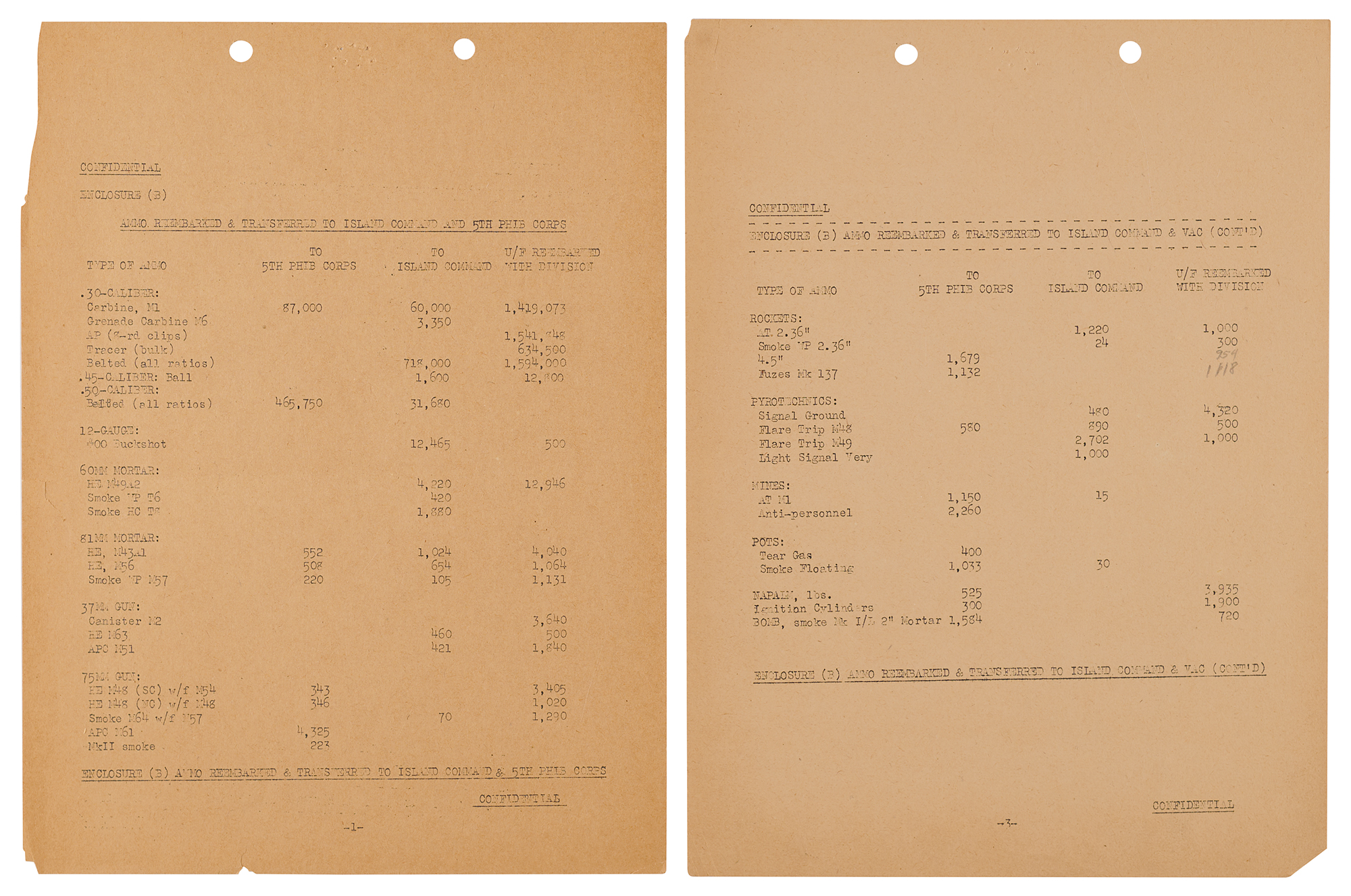
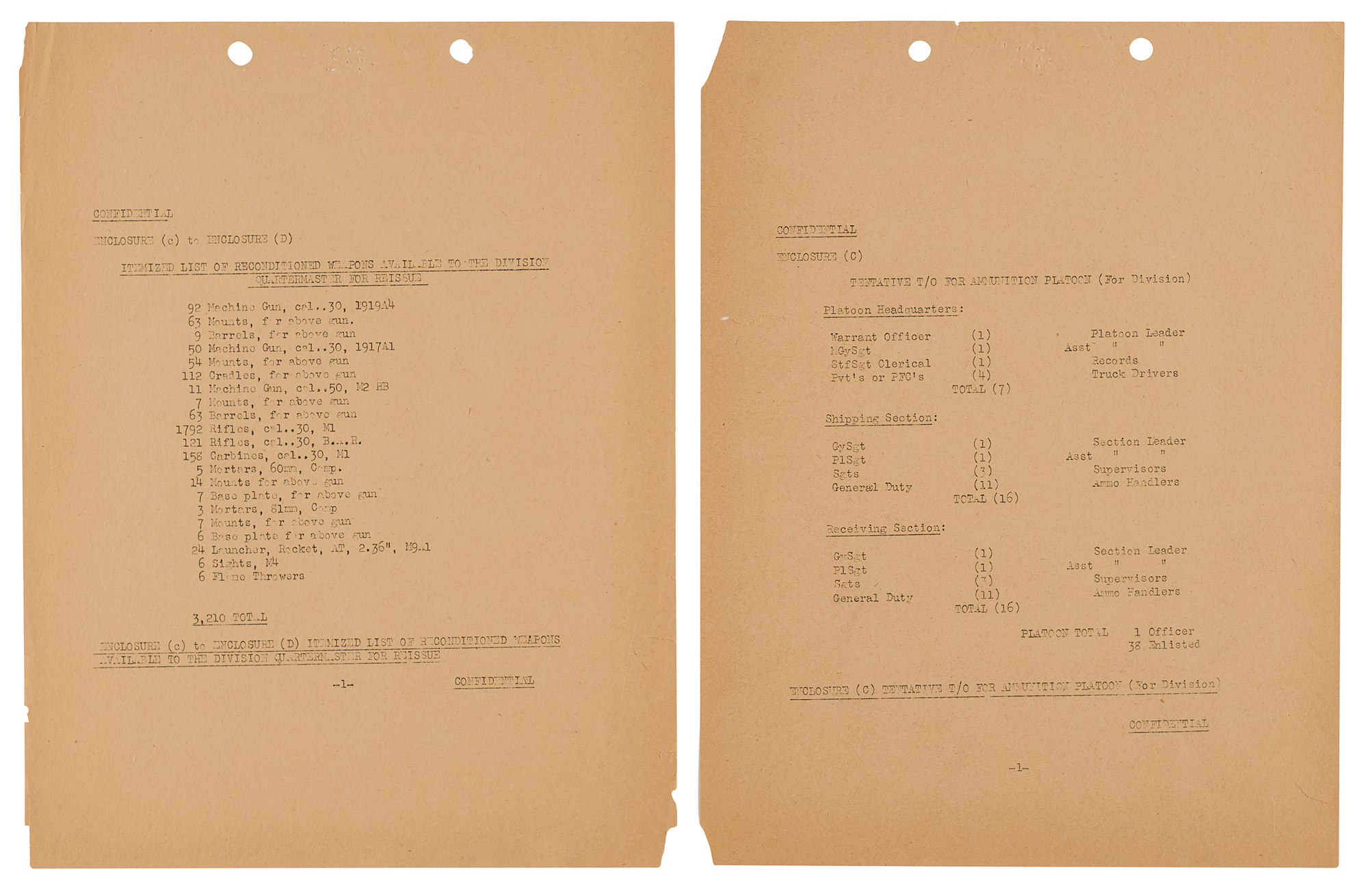
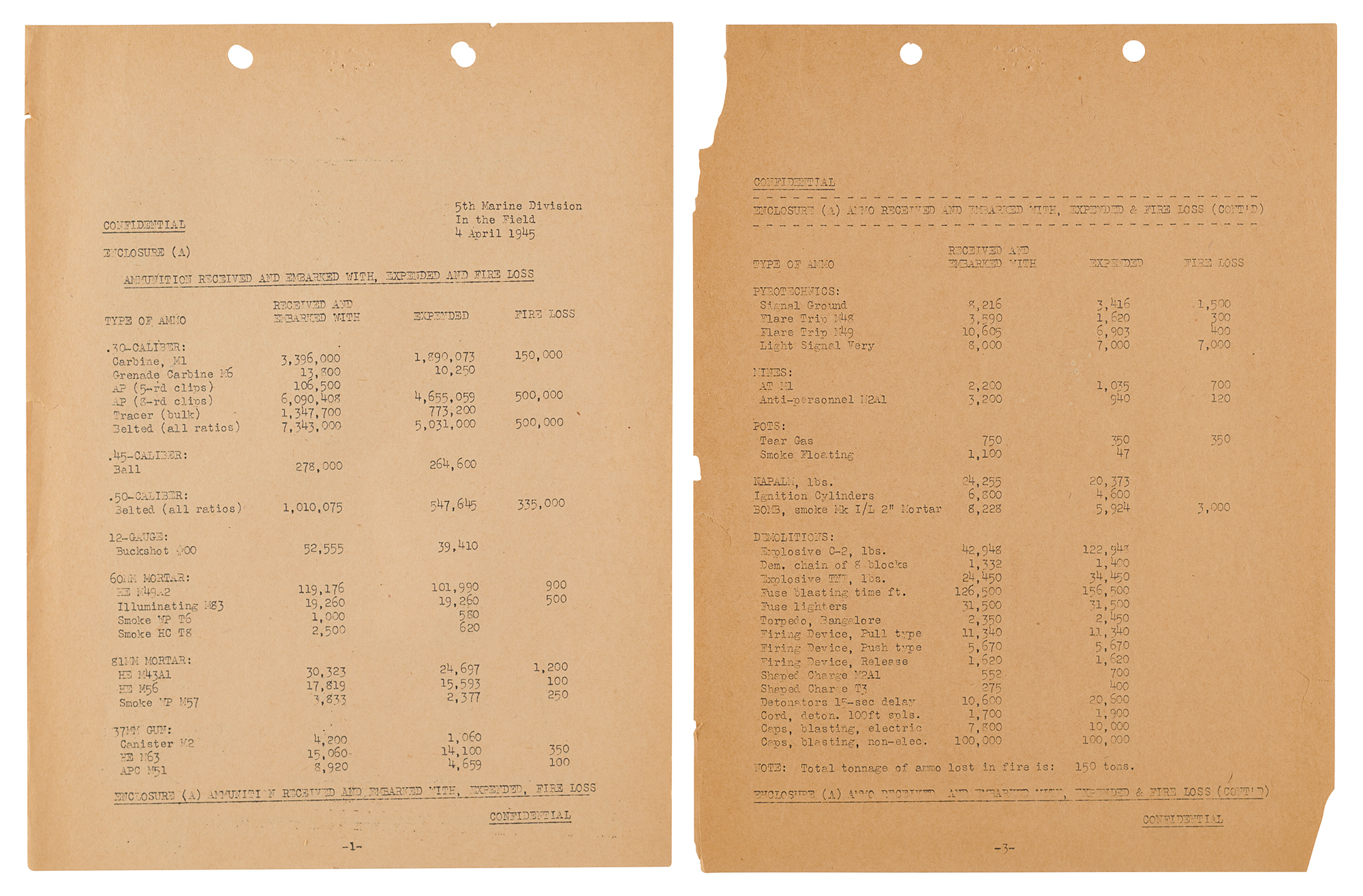
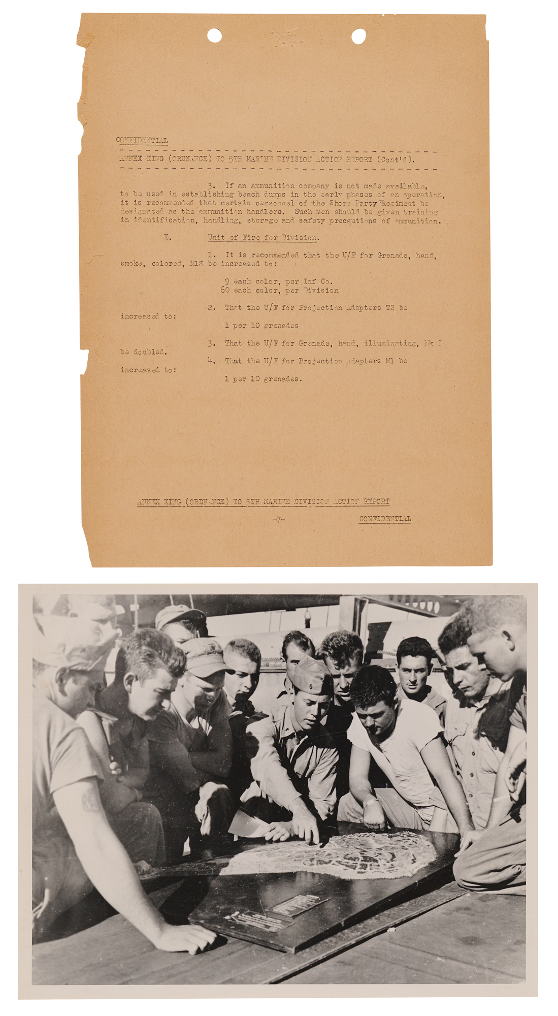
Annex King (Ordnance) to the 5th Marine Division Action Report: Confidential, page 7 with Enclosures (A) through (D), April 1945. It covers ammunition received, expended, and lost to fire (“Total tonnage of ammo lost in fire is: 150 tons”), ammunition reembarked and transferred to the Island Command, a proposed division ammunition platoon, and 3,210 reconditioned weapons available for reissue.
Lingayen Gulf: A Top Secret hand-drawn map copy of the San Fabian landing beaches, 8 x 10.5, with Transport Division 5 identification signals on the reverse, and a Secret tide, light, and weather forecast for the west coast of Luzon, January 10–16, 1945.
Also included are a later Marine Corps print of Marines studying a relief model of Iwo Jima aboard ship, and a Japanese 10-yen note bearing a handwritten notation on the reverse, in part: “Recovered from Jap Cave on Iwo Jima 18 April 1945.” In overall very good condition, with toning, edge chipping, fold separations, staining, and old tape repairs, chiefly to the binder and maps. A remarkable archive that follows a single Marine division through the Battle of Iwo Jima from its own files: what it expected to find on the beaches, how it planned to get ashore, and, day by day, the ammunition it took to finish the fight.
Commanded by Maj. Gen. Keller E. Rockey, the 5th Marine Division landed on Iwo Jima’s southeastern beaches on February 19, 1945, alongside the 4th Marine Division, and its 28th Marines raised the flag on Mount Suribachi four days later. The division then fought north along the island’s western side, taking Hill 362A and Nishi Ridge in early March. Iwo Jima was officially declared secure on March 16, but the 5th Division fought on for another ten days to destroy the last Japanese pocket, a box canyon near Kitano Point that came to be called the Gorge, where the defenders fought from caves and Marines advanced with flame tanks, demolitions, and armored bulldozers. The division began loading onto ships on March 26 and sailed for Hawaii the following day. It suffered the heaviest losses of the three Marine divisions on the island, with 2,482 killed, 19 missing, and 6,218 wounded. The stock records in this archive follow the division’s ammunition through nearly four weeks of that fighting, from February 27 to March 25, tracking what each of its regiments drew from the dumps as they pushed north, and the ordnance annex, compiled “In the Field” on April 4, closes the account.

