The 30 Minute Rule begins November 19 at 7:00 PM EST. An Initial Bid Must Be Placed By November 19 at 6:00 PM EST To Participate After 6:00 PM EST
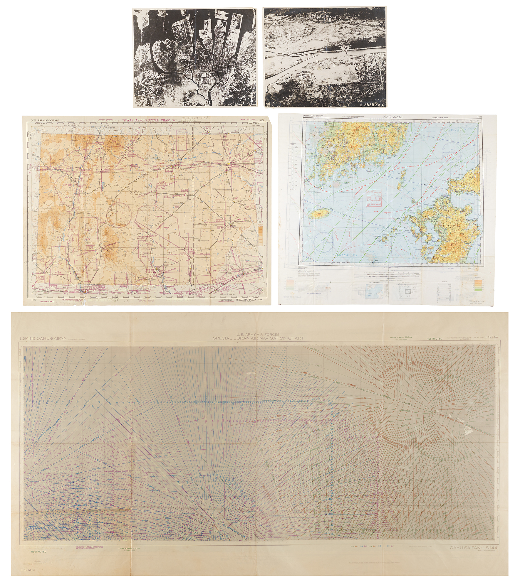
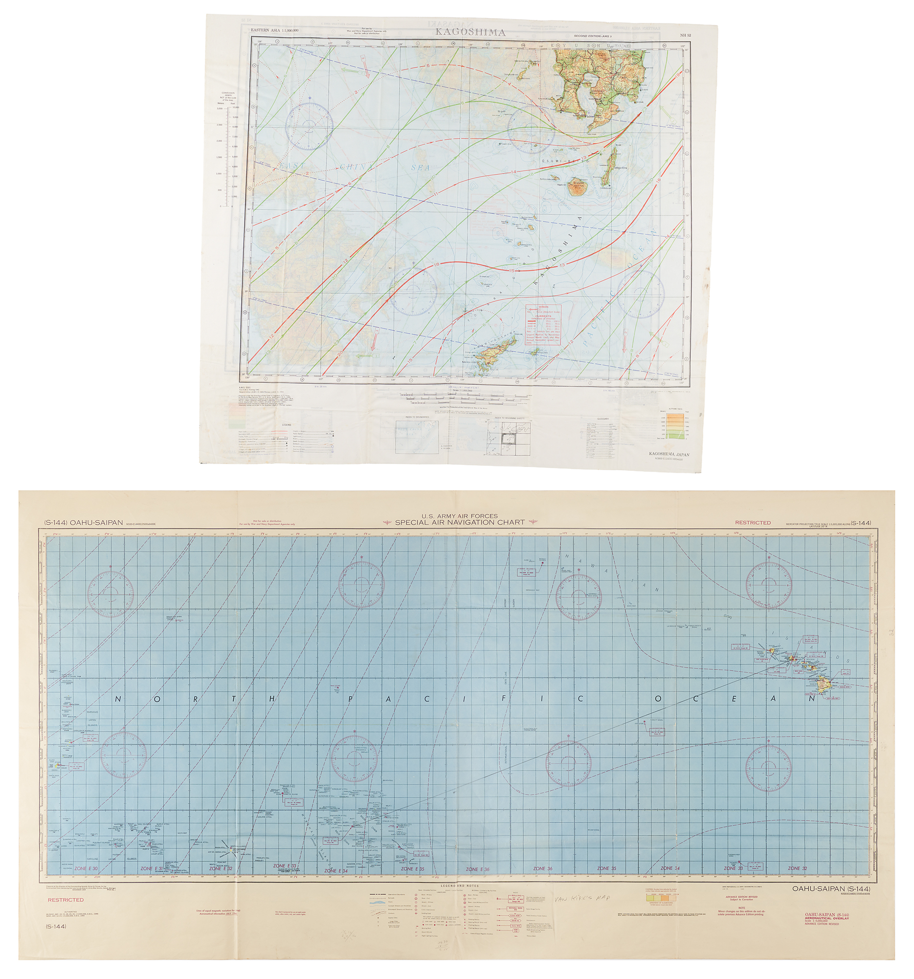
Five items from the collection of Theodore ‘Dutch’ Van Kirk, the navigator of the Enola Gay, which comprise three maps and two aerial photographs. The maps include an Estacado Plain aeronautical chart, a double-sided cloth map of Nagasaki and Kagoshima, and a large double-sided Oahu–Saipan air navigation chart. They are as follows:
The Estacado Plain map, 29 x 22, is an Army Air Forces aeronautical chart at a scale of 1:1,000,000, identified as chart 406 and dated February 1945. Marked “Restricted” and “First Edition—Subject to Correction,” it covers portions of New Mexico and western Texas, depicting terrain, towns, airfields, airways, radio facilities, and designated danger areas. The margin bears the handwritten notation “Van Kirk’s Map,” with additional pencil calculations and lines appearing on the chart.
The double-sided cloth map, 26 x 23, features “Nagasaki” on one side and “Kagoshima” on the other, both from the Eastern Asia series at a scale of 1:1,000,000. The Nagasaki side is identified as sheet NI 52 and a second edition, with an Army Map Service imprint dated 1944. It depicts southern Korea, Kyushu, part of western Honshu, and neighboring islands and waters. Printed navigational information includes wind arrows, seasonal ocean currents in red and green, magnetic variation, and compass roses. Marginal information includes an altitude color key, a glossary of geographical terms, and the restriction: “For use by War and Navy Department Agencies only. Not for sale or distribution.”
The Oahu–Saipan map, 56 x 29.5, is a U.S. Army Air Forces “Special Air Navigation Chart,” designated S-144, marked “Restricted,” and printed at a scale of 1:5,000,000 along latitude 20° north using a Mercator projection. Spanning the Pacific between the Mariana Islands and Hawaii, it identifies islands, navigational facilities, magnetic variation, and numbered zones. The chart bears the handwritten notation “Van Kirk’s Map” in the lower margin. Its publication information identifies a December 1944 base and an “Advance Edition Revised,” with a 1945 Army Map Service imprint. The reverse features the corresponding “Special Loran Air Navigation Chart,” designated LS-144, with a dense network of numbered navigation curves printed in several colors. It is marked “Restricted,” “Loran Advance Edition,” and “Loran Curves June 1945.”
The two black-and-white aerial photographs, each approximately 17 x 14, depict an urban landscape intersected by rivers and bridges. One presents a broad view of a densely developed city and its branching waterways, while the other shows extensive destruction surrounding a river and bridge crossing. In overall very good to fine condition, with edgewear and creasing.

