Sold For $303
*Includes Buyers Premium
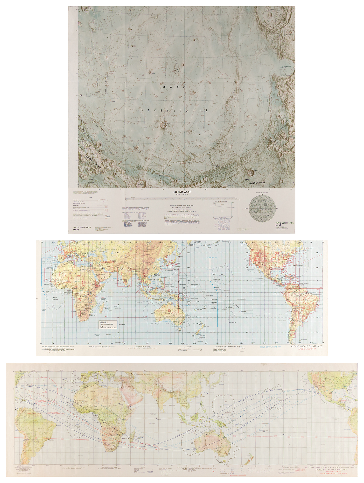
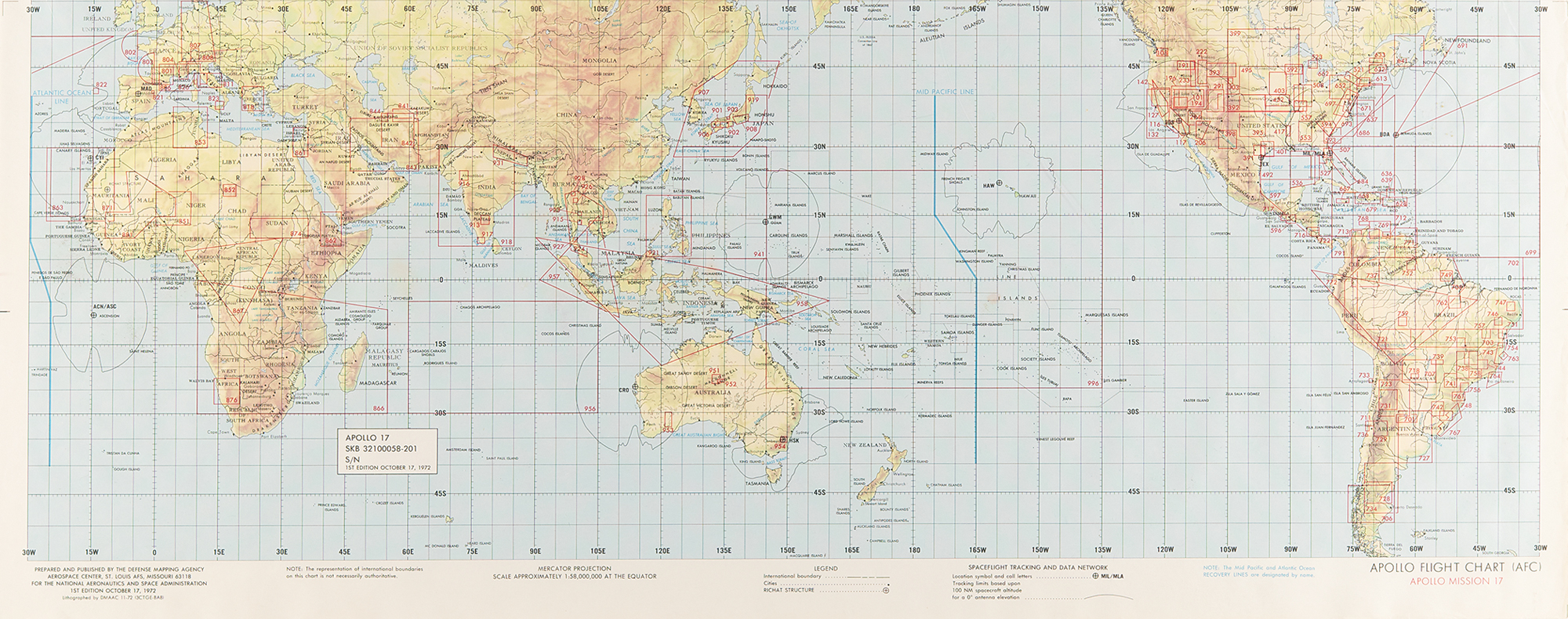
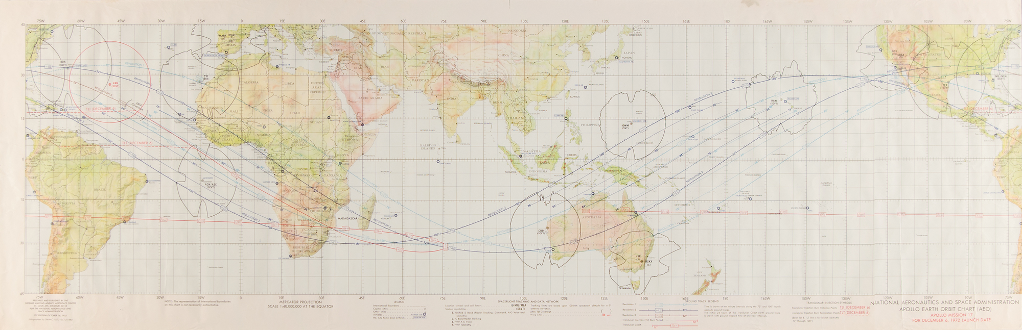
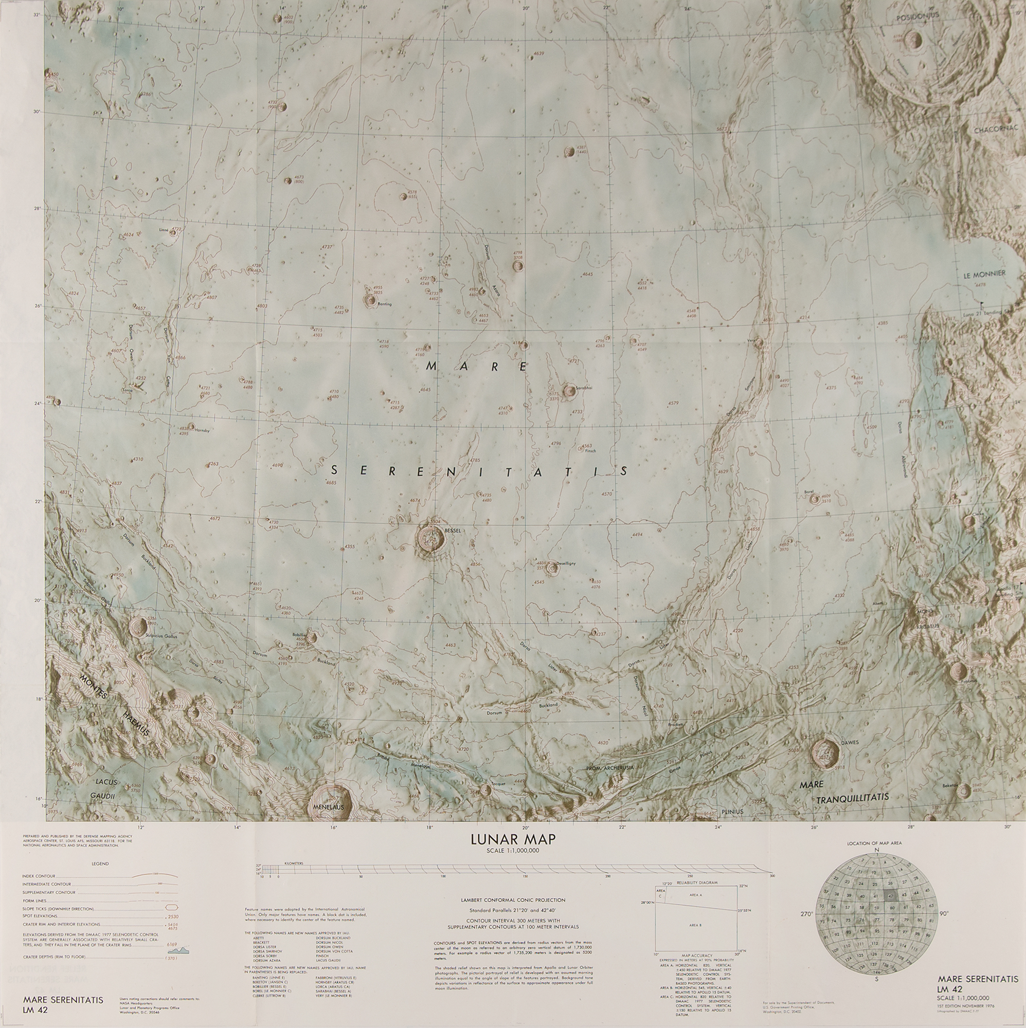
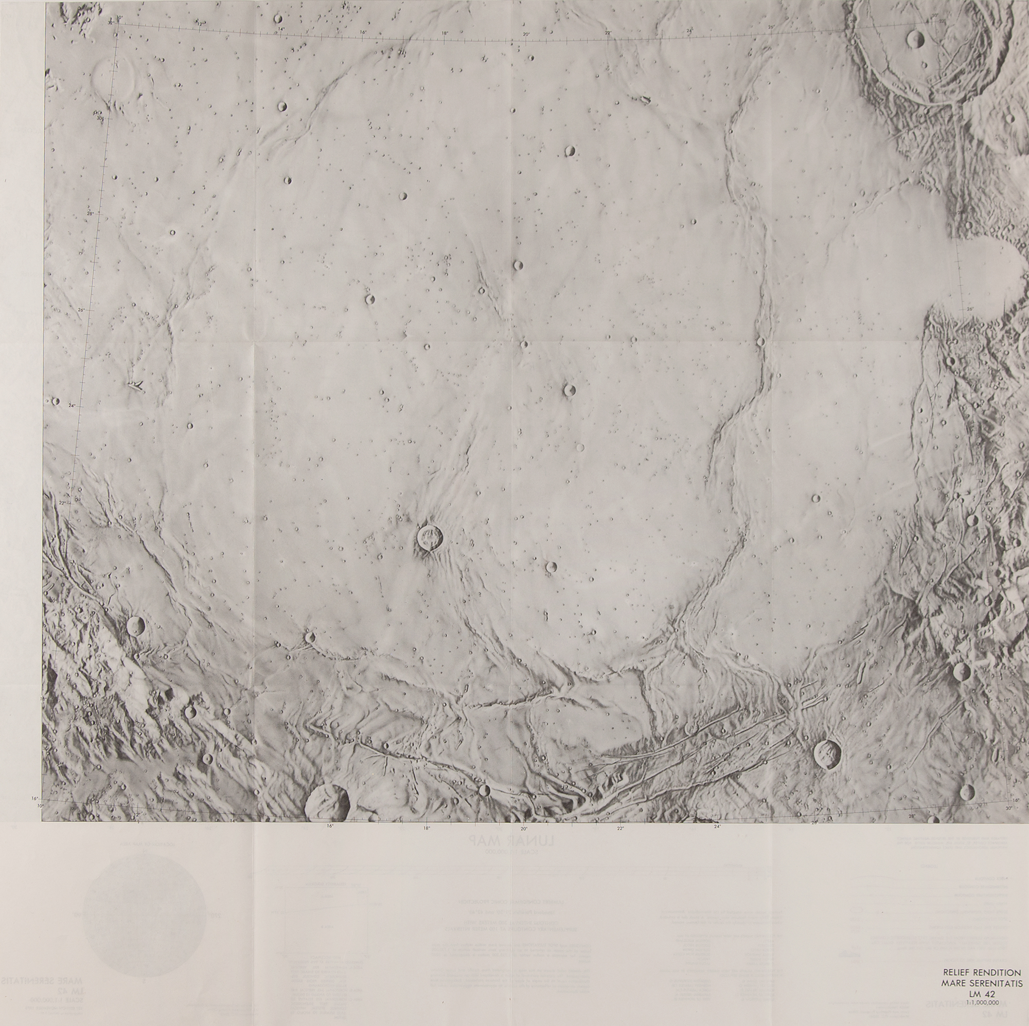
Three first edition charts affiliated with Apollo 17: a color 13.5 x 41.5 map entitled "Apollo Earth Orbit Chart (AEO), Apollo Mission 17 for December 6, 1972 Launch Date," lithographed by DMAAC 10/72; a color 28 x 11 map entitled "Apollo Flight Chart (AFC), Apollo Mission 17," lithographed by DMAAC 11-72; and a color double-sided 25 x 25 lunar map of the "Mare Serenitatis," nearby the Apollo 17 landing site in the Taurus-Littrow valley, lithographed by DMAAC 7-77. Rolled and in fine condition, with a few creases to the Apollo Earth Orbit Chart, some corner creasing to the Apollo Flight Chart.