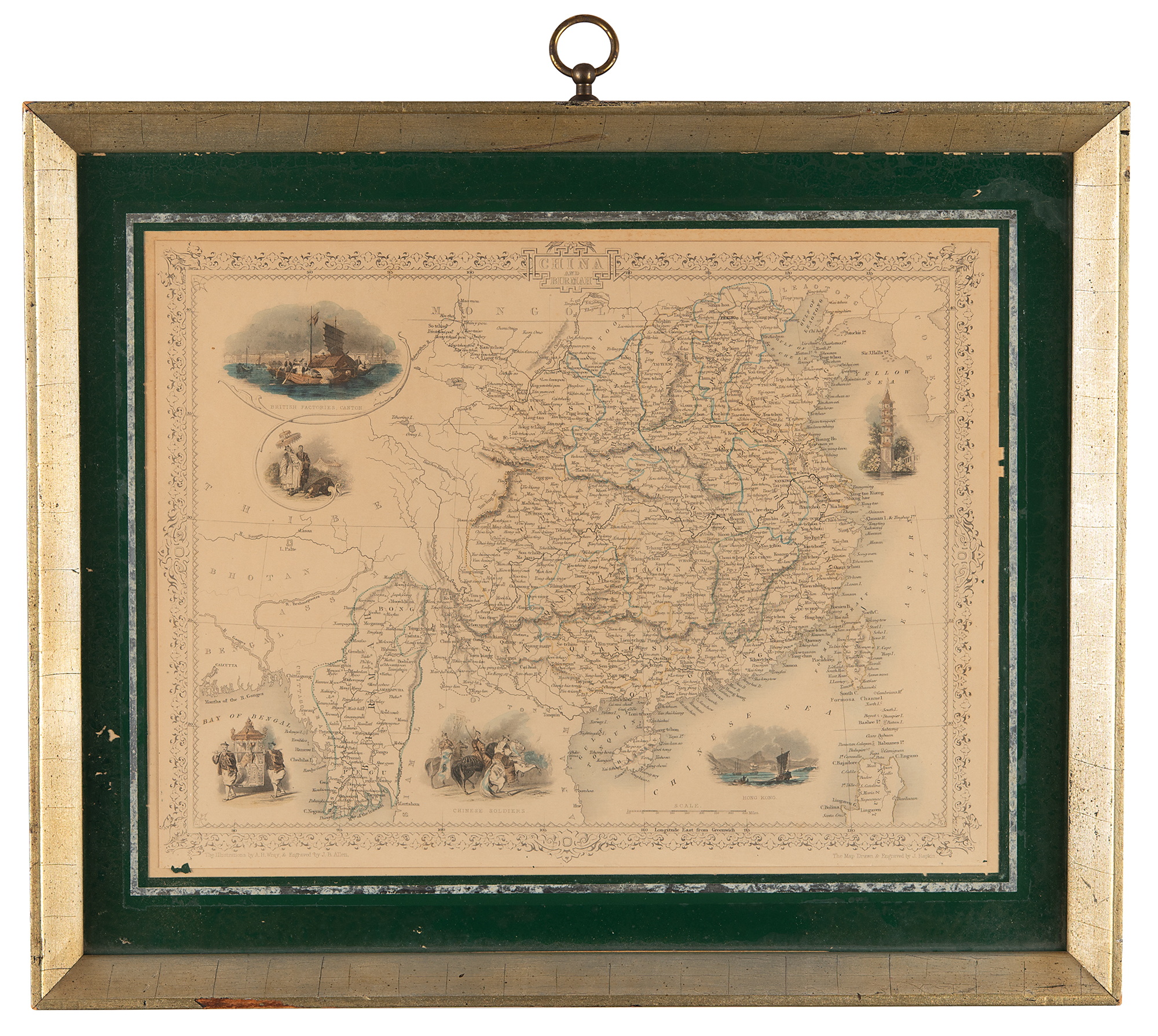
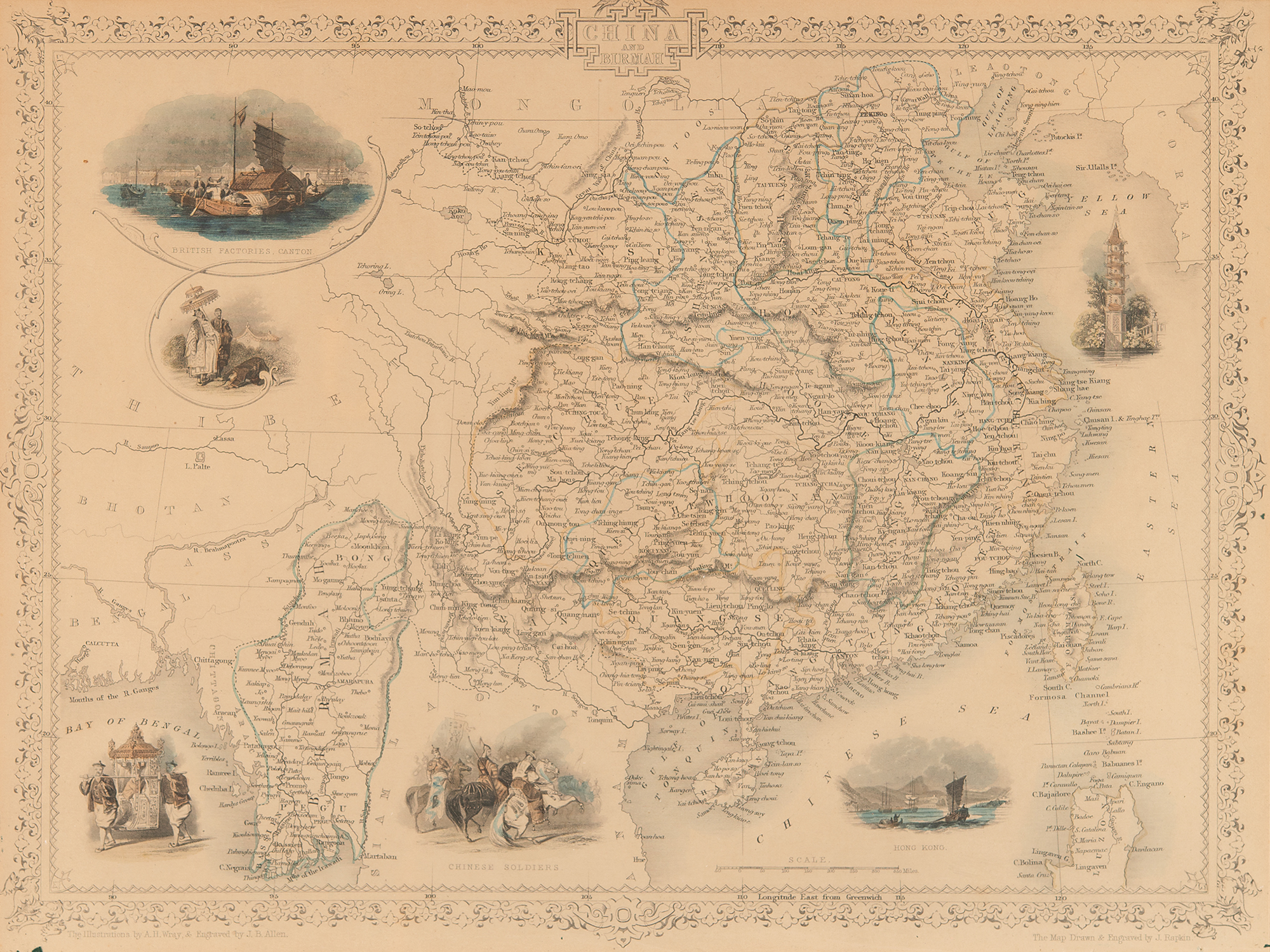
Antique mid-19th-century color map of “China and Birmah,” 13.5 x 10.25, which was drawn and engraved by J. Rapkin (vignettes by A. H. Wray & J. B. Allen) and published in John Tallis’s Illustrated Atlas (London & New York: John Tallis & Co., c.1851). The Illustrated Atlas, published from 1849 onwards, was the last decorative world atlas. The course of the Great Wall of China is marked on the map, and the borders feature illustrated views of Hong Kong, British factories in Canton, a pagoda, Chinese soldiers, and Chinese noblemen. Matted and framed to an overall size of 17 x 14.25. In fine condition.