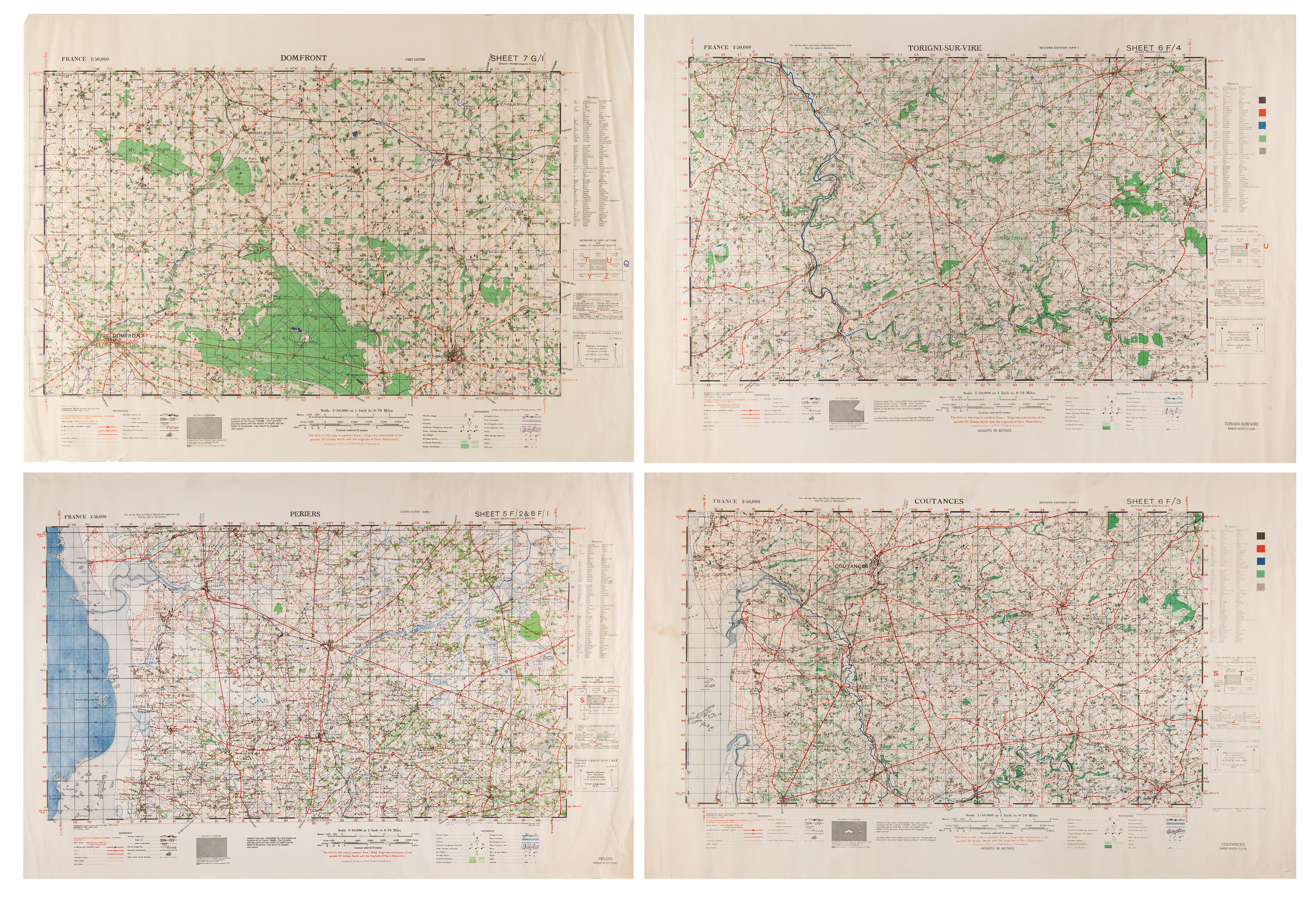
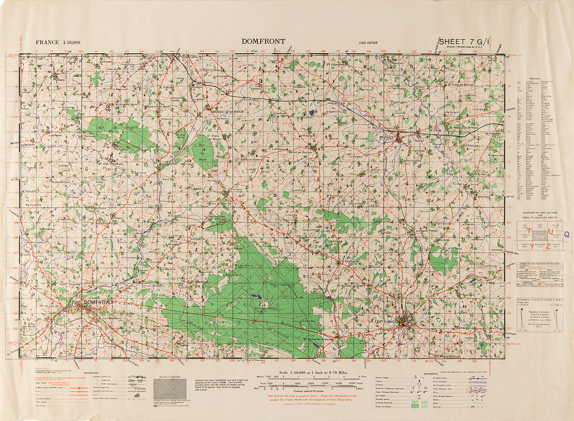
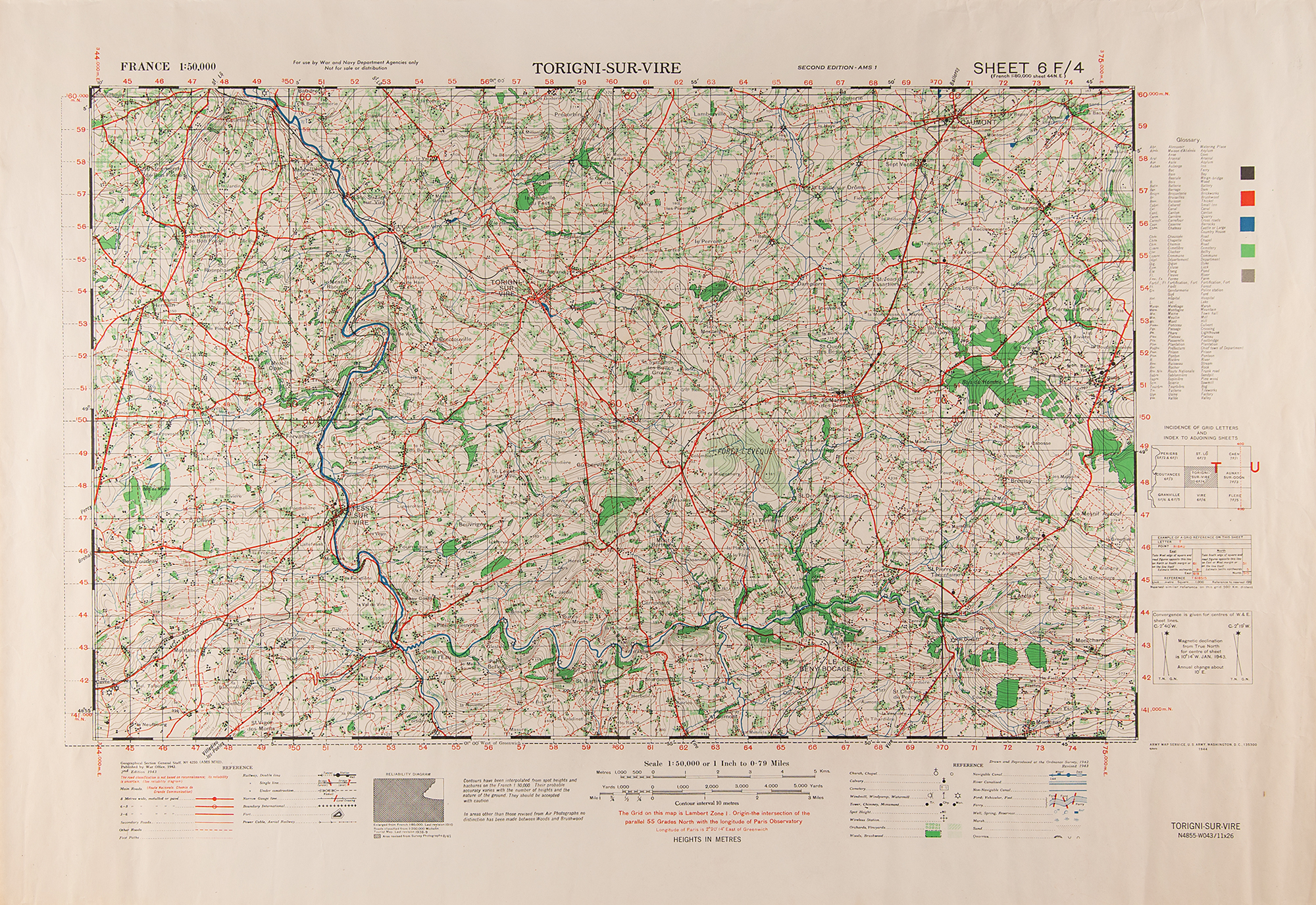
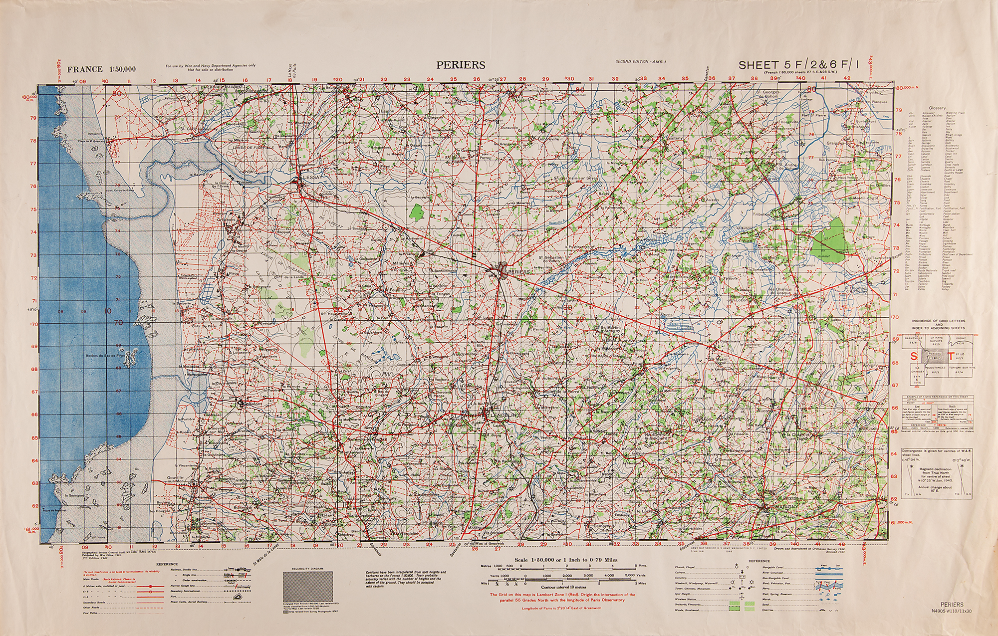
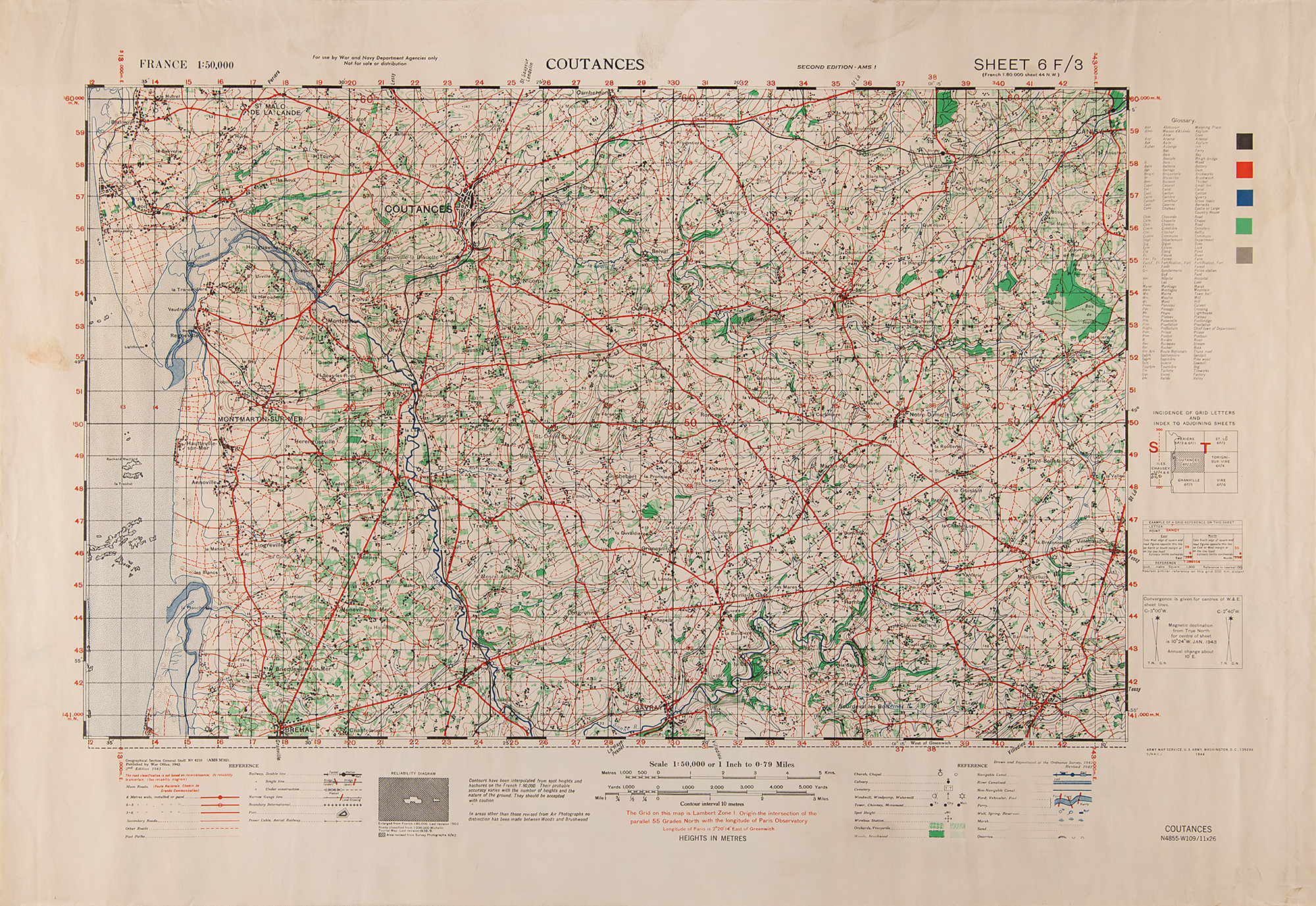
Group of four World War II–era British maps of France prepared by the "Geographical Section, General Staff," and published by the War Office, circa 1943, ranging in size from 30 x 22 to 34 x 22, highlighted by a "First Edition" map of Domfront ("Sheet 7 G/I"), plus "Second Edition" maps of Periers ("Sheet 5 F/2&6 F/I"), Torigni-Sur-Vire ("Sheet 6 F/4"), and Coutances ("Sheet 6 F/3"). All are extremely detailed, portraying the regions at a scale of 1:50,000 and denoting main roads, secondary roads, foot paths, railways, forts, and power cables. Rolled and in very good to fine condition, with scattered creasing and edgewear.