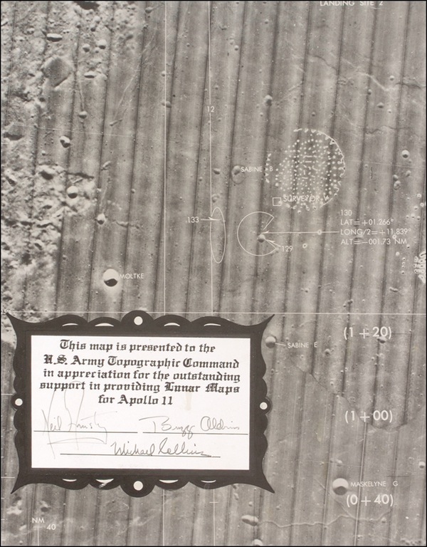
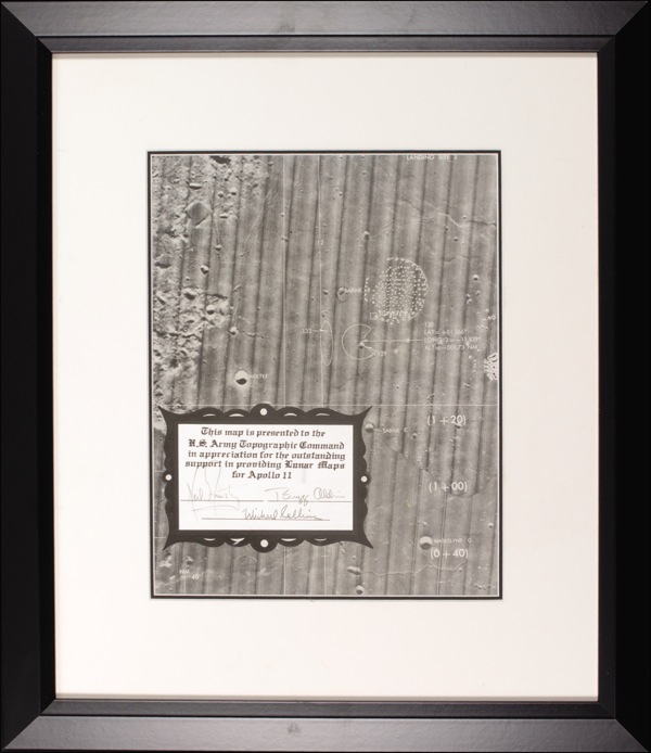
Detailed and unique first generation topographical photo map of a portion of the lunar surface, 9.75 x 12.5, near the southern edge of Mare Tranquillitatis and labeled ?Landing Site 2.? Several landmarks are visible in the photo, most notably, the Apollo 11 landing site, as well as two craters that were eventually renamed Armstrong and Aldrin respectively. A 5.75 x 4.25 presentation area has been printed onto the lower left of the photos which reads, ?This map is presented to the U. S. Army Topographic Command in appreciation for the outstanding support in providing lunar maps for Apollo 11.? Signed underneath in black felt tip, ?Neil Armstrong,? ?Buzz Aldrin,? and ?Michael Collins.? Photo has been dry-mounted to a 14.75 x 18 piece of heavy artists board and archivally double matted and framed to an overall size of 18.25 x 21.5. In fine condition, with a few trivial and unobtrusive surface and border creases and a few small spots of light toning from mounting process, one to the plaque area. The process of putting together a map of another world, using telescopic photographs, and lunar orbital photos taken during the Apollo 8 and 10 missions, and with only seven months between Apollo 8 and 11, was a monumental task for the mapping agency to accomplish. One can imagine the gratitude felt by the crew for all this hard work and the pleasure they took in signing this piece. COA Scott Cornish and R&R COA.