The 30 Minute Rule begins November 19 at 7:00 PM EST. An Initial Bid Must Be Placed By November 19 at 6:00 PM EST To Participate After 6:00 PM EST
Archive of 38 German military-geographic maps, booklets, and portfolios covering Belgium and the Netherlands, with coverage of Luxembourg, issued by the Generalstab des Heeres, Abteilung für Kriegskarten und Vermessungswesen, Berlin, between October 1939 and June 1940, comprising 27 maps and town plans, eight booklets, two portfolios, and a map wrapper. The earlier studies, compiled as Hitler’s army readied its offensive in the West, assess the region’s rivers and canals, terrain, soils, roads, communications, and civil administration as military obstacles and objectives. Many pieces are marked “Nur für den Dienstgebrauch!” (For official use only). The archive also includes a special-edition map set of Belgium printed in June 1940, weeks after the Belgian surrender.
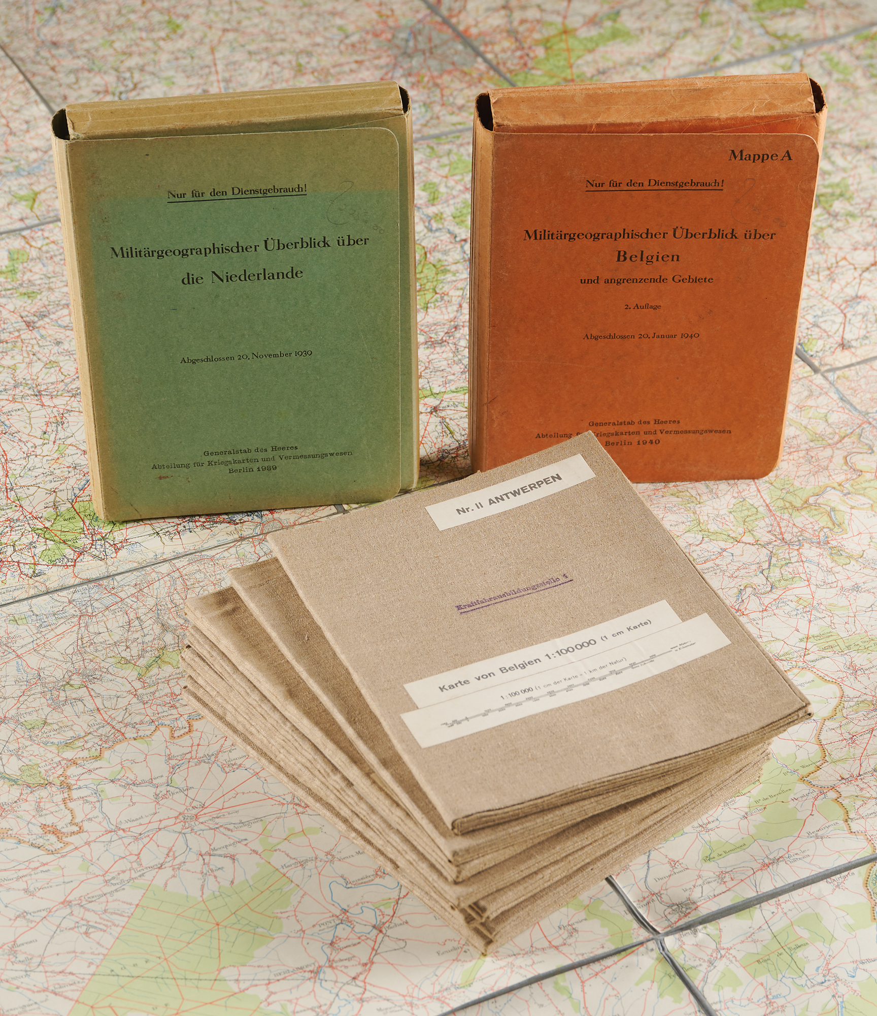
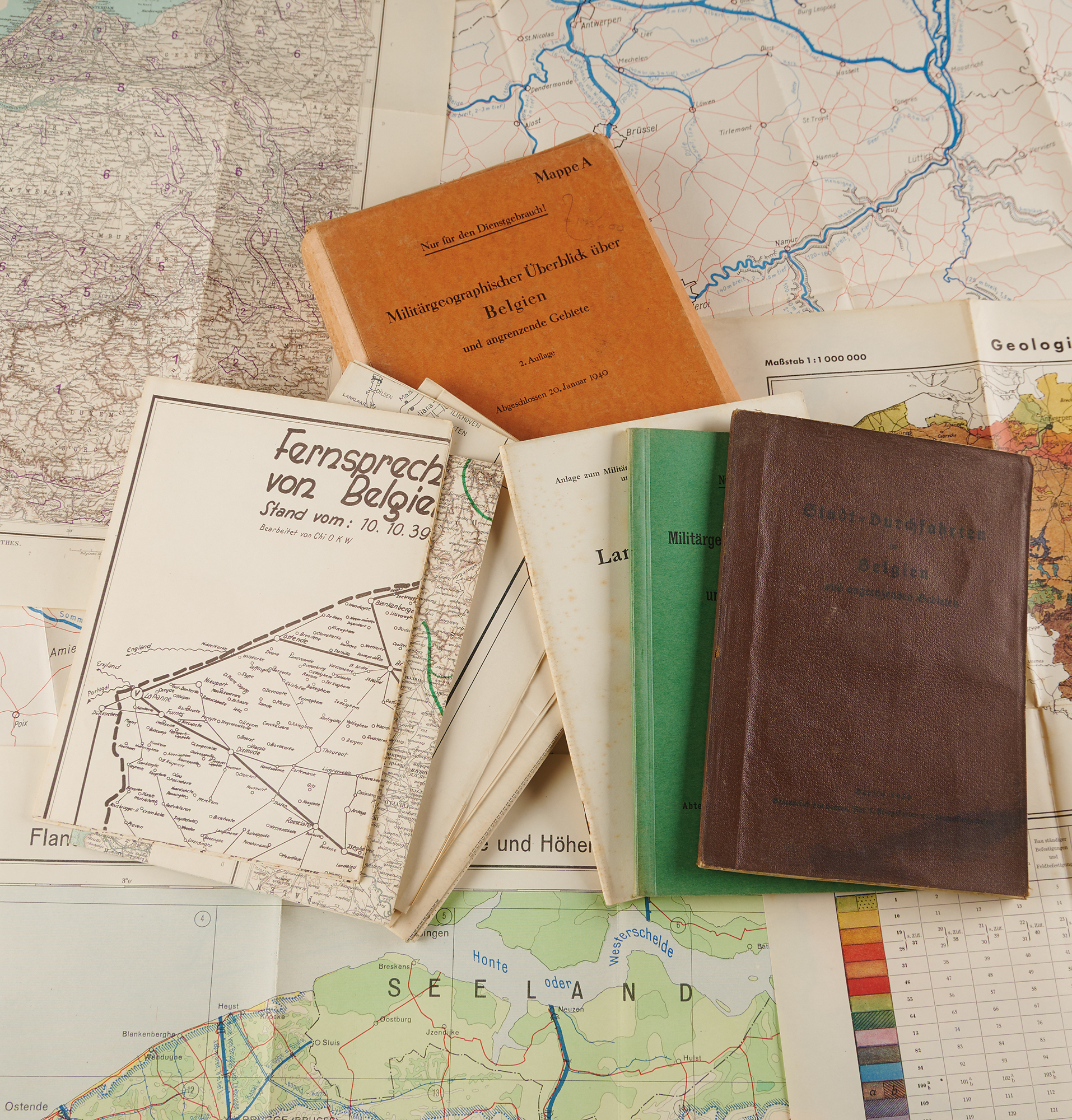
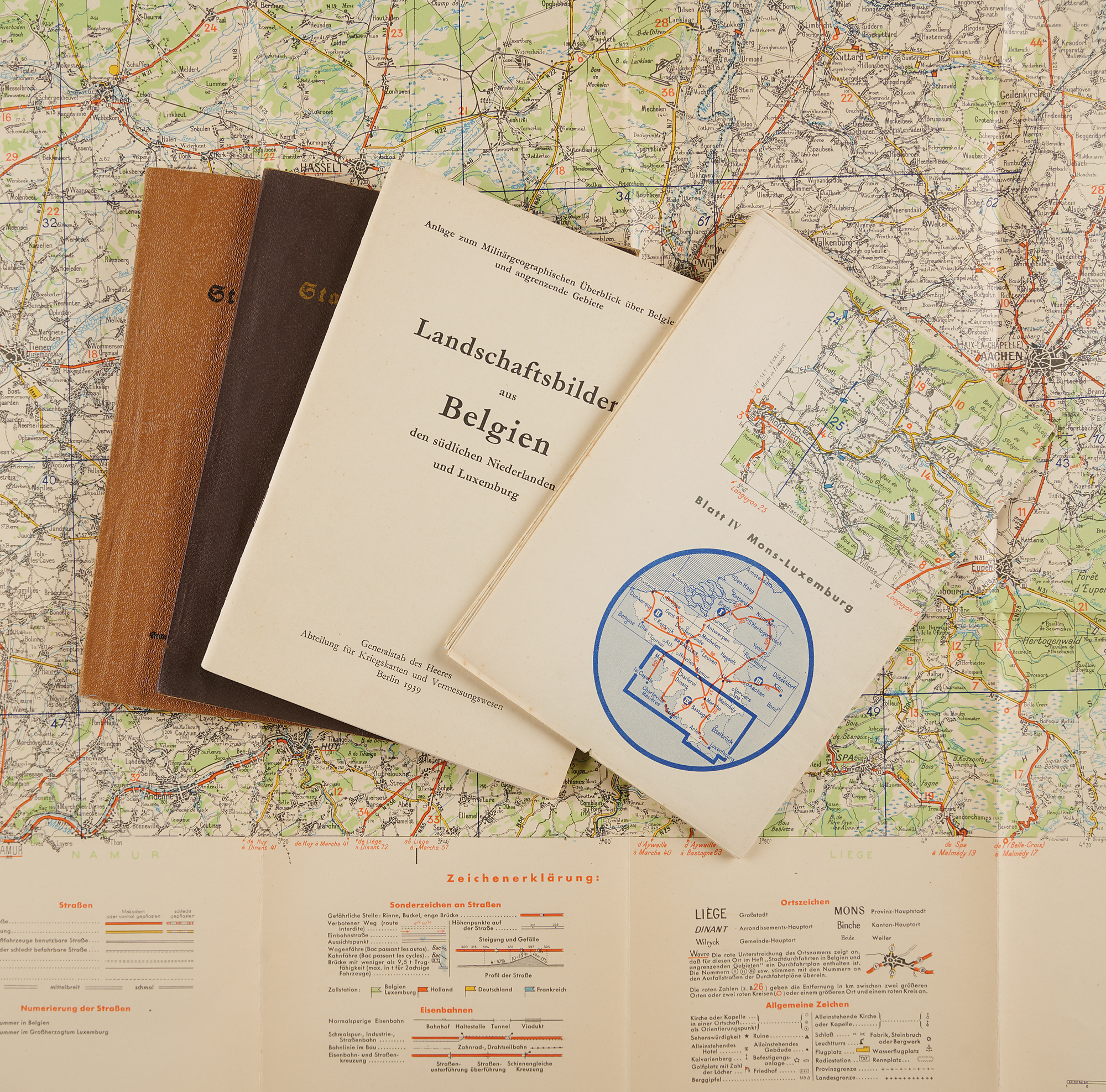
Belgium: Orange portfolio, “Mappe A,” “Militärgeographischer Überblick über Belgien und angrenzende Gebiete,” 2. Auflage, “Abgeschlossen 20. Januar 1940,” “Nur für den Dienstgebrauch!”, containing the green text volume of the same title, a “Landschaftsbilder” booklet, a “Stadt-Durchfahrten in Belgien” booklet, and eight folding maps. These include “Übersichtskarte der Gewässerabschnitte in Belgien und den angrenzenden Gebieten,” 1:500,000, “Fertiggestellt 1939,” grading rivers and canals from “kein Hindernis” to “bedeutendes Hindernis,” and “Flandern und Nordbelgien / Gewässerabschnitte und Höhenlage,” 1:300,000, “Fertiggestellt 1940.” Also present are “Geologische Übersichtskarte von Belgien,” 1:1,000,000, with a table rating each formation for trafficability, fortifications, artillery, and water supply, “Fernsprech- und Telegraphennetz von Belgien und Luxemburg,” “Stand vom: 10.10.39,” mapping exchanges, repeater stations, and cable lines, and “Belgien 1:300000 Verwaltungskarte,” showing commune boundaries. Completing the eight maps are “Karte des nordbelgischen Kanalsystems und des Julianakanals mit Übergängen und Schleusen,” 1:160,000, charting the bridges, locks, ferries, and fuel depots along the Albert Canal from Antwerp to Liège, and two Justus Perthes base maps of the Low Countries overprinted by the General Staff with soil types (“Bodenarten”) and landscape divisions (“Landschaftsgliederung”). Also included are second copies of “Landschaftsbilder aus Belgien, den südlichen Niederlanden und Luxemburg,” Berlin 1939, containing 69 numbered terrain photographs keyed to a location map, among them the Albert Canal, the Monsin lock, the Meuse valley at Visé, and Antwerp’s harbors, and “Stadt-Durchfahrten in Belgien und angrenzenden Gebieten,” Berlin 1939.
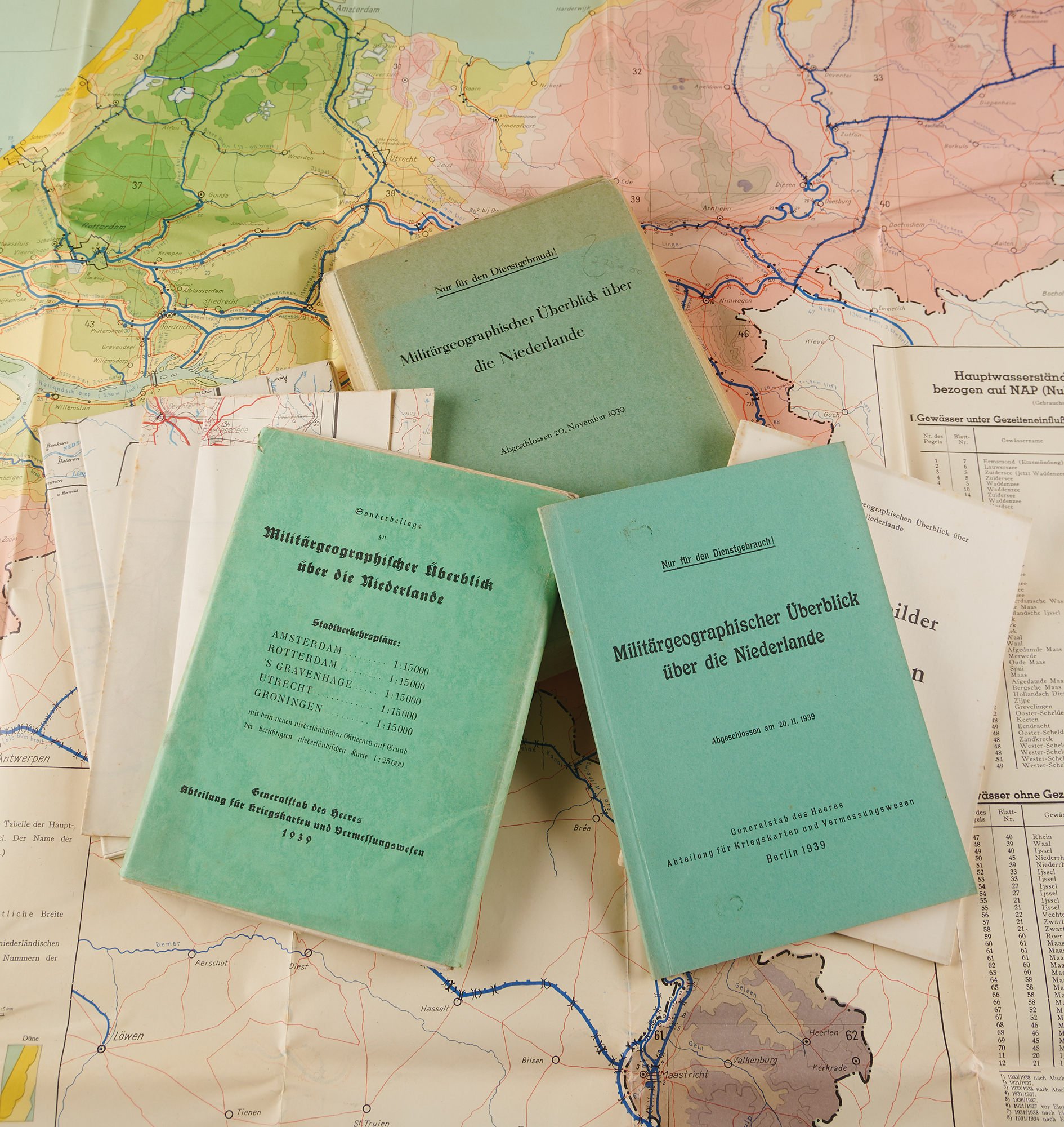
The Netherlands: Green portfolio, “Militärgeographischer Überblick über die Niederlande,” “Abgeschlossen 20. November 1939,” “Nur für den Dienstgebrauch!”, with its text volume, a “Sonderbeilage” wrapper holding five “Stadtverkehrspläne” of Amsterdam, Rotterdam, ’s Gravenhage, Utrecht, and Groningen, each 1:15,000, and the booklets “Landschaftsbilder aus den Niederlanden,” Berlin 1939, and “Stadtdurchfahrtpläne der Niederlande,” Berlin 1939. Also included are three folding maps: “Gewässerabschnitte, Höhenlage und Pegelstationen der Niederlande,” 1:300,000, “Ausgabe 1939,” “Nur für den Dienstgebrauch!”, with a table of water levels at the principal gauging stations, “Straßenkarte Niederlande – Mittelblatt,” 1:200,000, dated November 1939, and “Verwaltungskarte der Niederlande,” 1:300,000.
Road maps: Two sheets of “Straßenkarte von Belgien,” 1:200,000, reprinted from the Michelin road map: “Blatt III Brüssel–Lüttich (Liège),” “Stand 1938,” and “Blatt IV Mons–Luxemburg,” “Stand 1939,” the latter covering the Ardennes, Sedan, and Luxembourg.
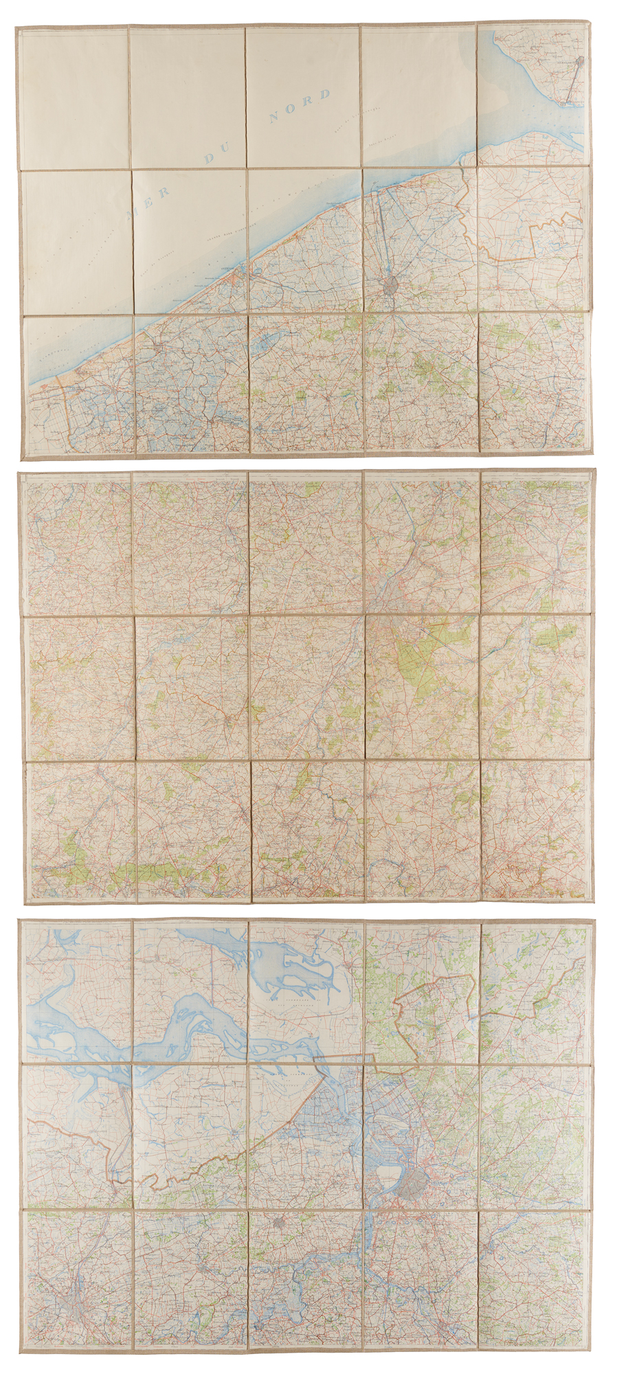
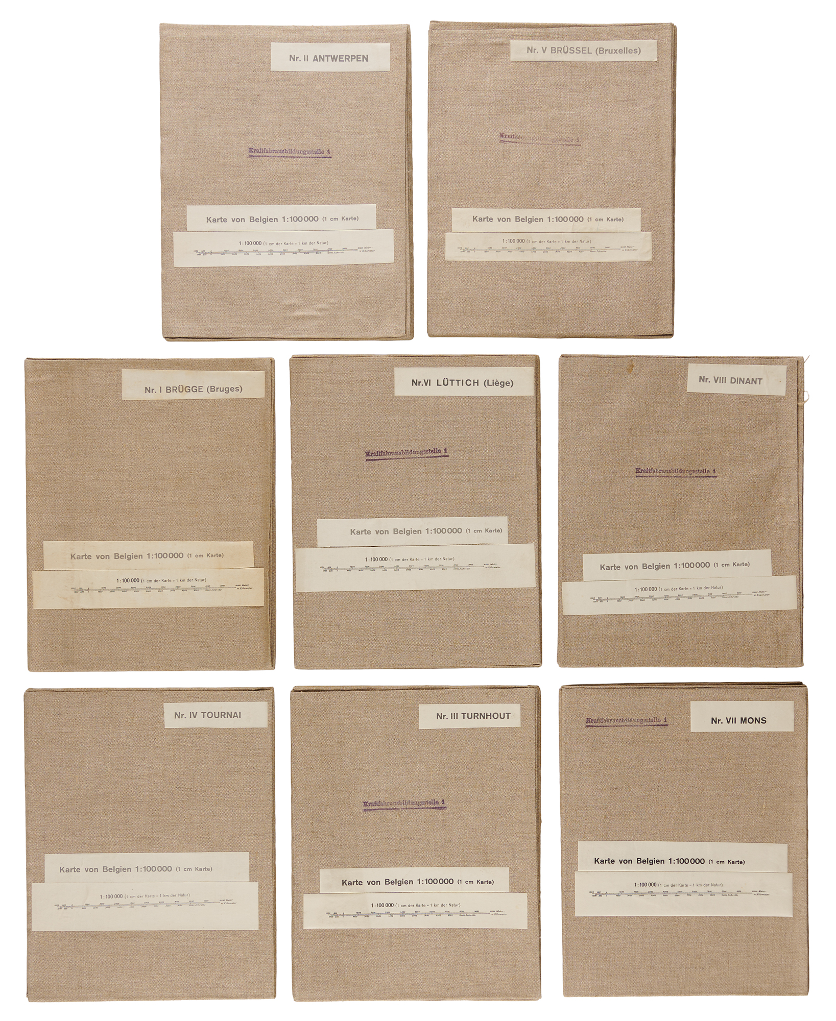
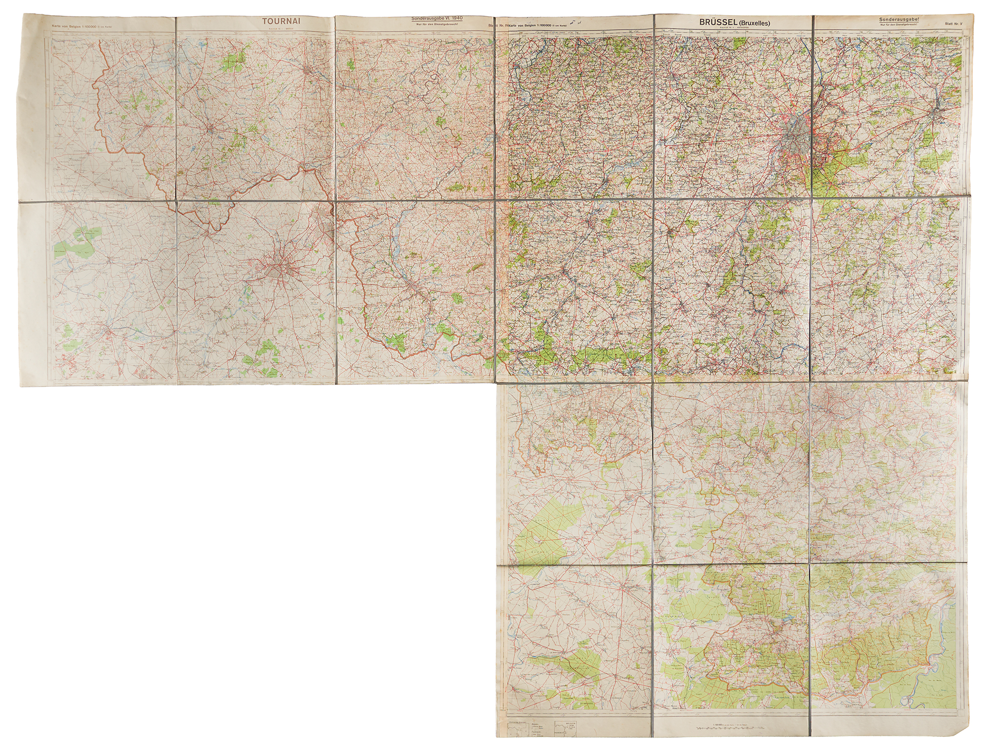
1940 map set: Eight linen-backed folding maps, “Karte von Belgien 1:100000 (1 cm Karte),” each sectioned into 15 panels, 33 x 25 unfolded, in linen covers with printed labels numbered I through VIII (Brügge, Antwerpen, Turnhout, Tournai, Brüssel, Lüttich, Mons, and Dinant), each stamped “Kraftfahrausbildungsstelle 1.” Together with a large linen-backed composite map, 66.5 x 51, joining four sheets of the same series, its margin reading “Sonderausgabe VI. 1940” and “Nur für den Dienstgebrauch!”, reproducing a 1932 Belgian survey.
In overall very good to fine condition, with toning and scattered wear, including creases and tears.

