The 30 Minute Rule begins November 19 at 7:00 PM EST. An Initial Bid Must Be Placed By November 19 at 6:00 PM EST To Participate After 6:00 PM EST
Archive of 36 original photographs documenting the atomic destruction of Nagasaki, together with an array of maps and publications charting the bombings, their effects, and the end of the war, including a U.S. Strategic Bombing Survey damage map of Nagasaki; two wartime Newsmaps for the Armed Forces reporting the atomic bombings; and several government publications, from the Manhattan Engineer District’s own report on Hiroshima and Nagasaki and British government accounts of the bomb’s development and effects to a Clinton Engineer Works employee guidebook and an Army field card on atomic weapons effects.
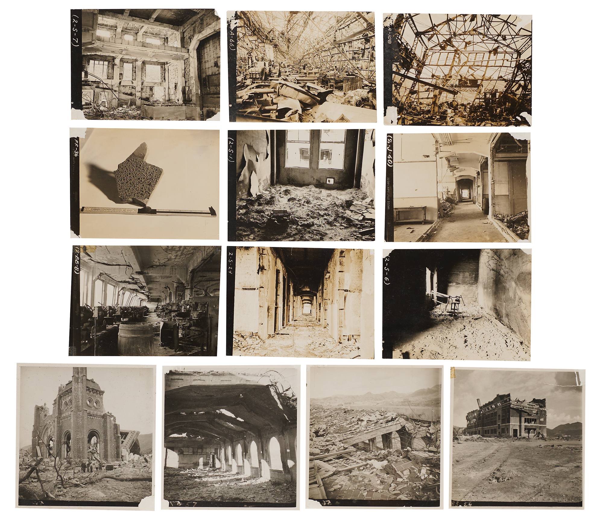
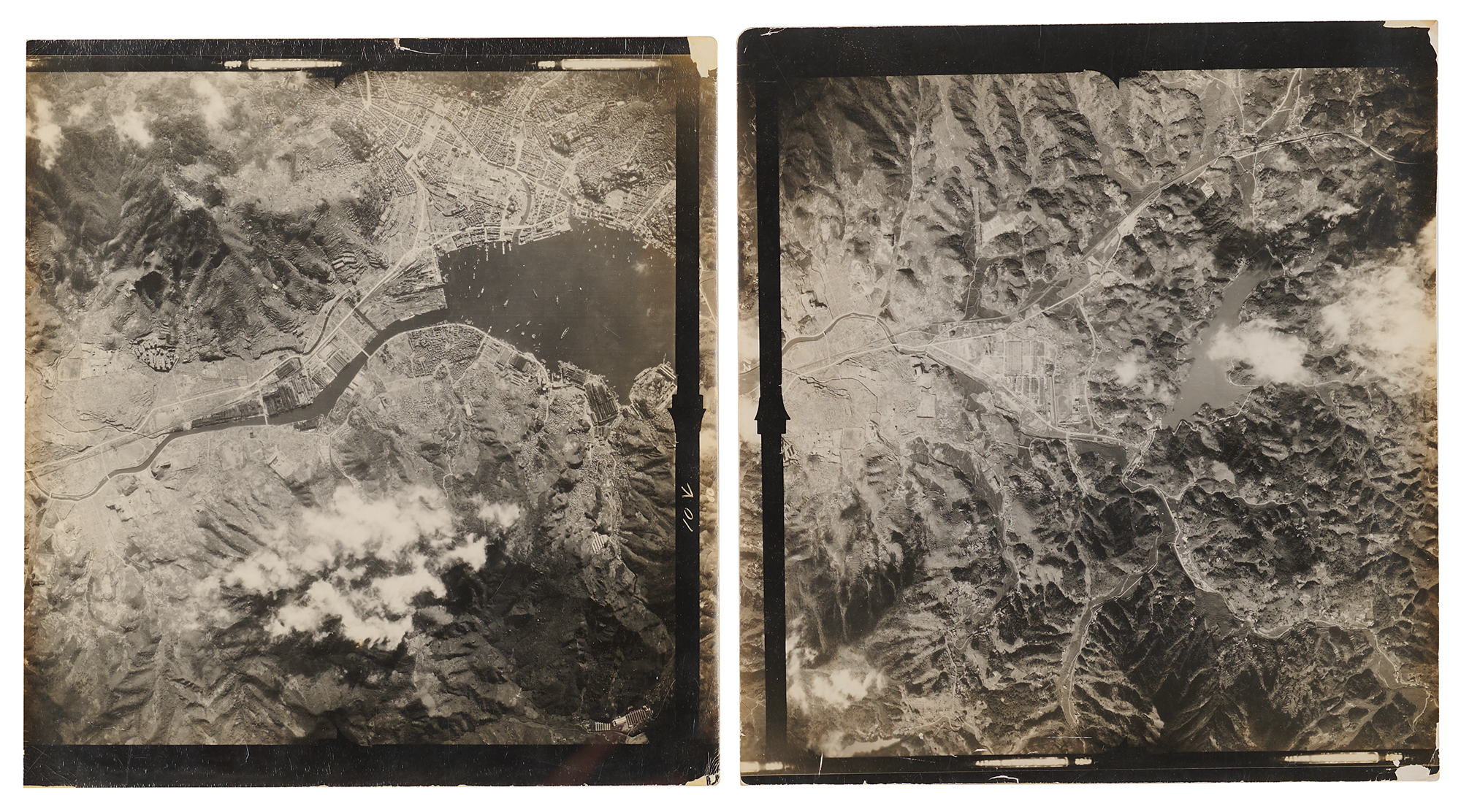
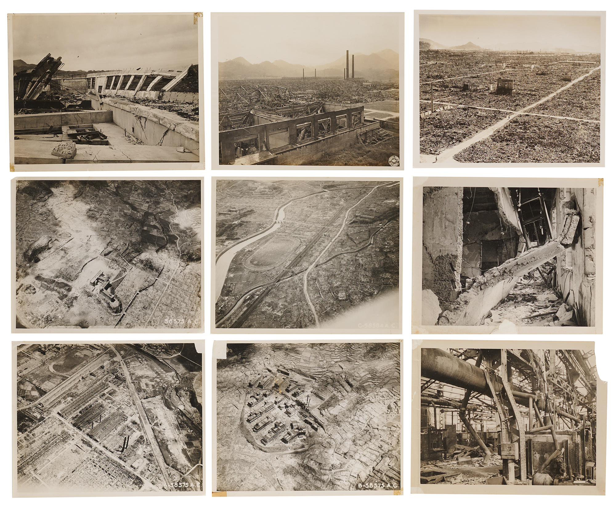
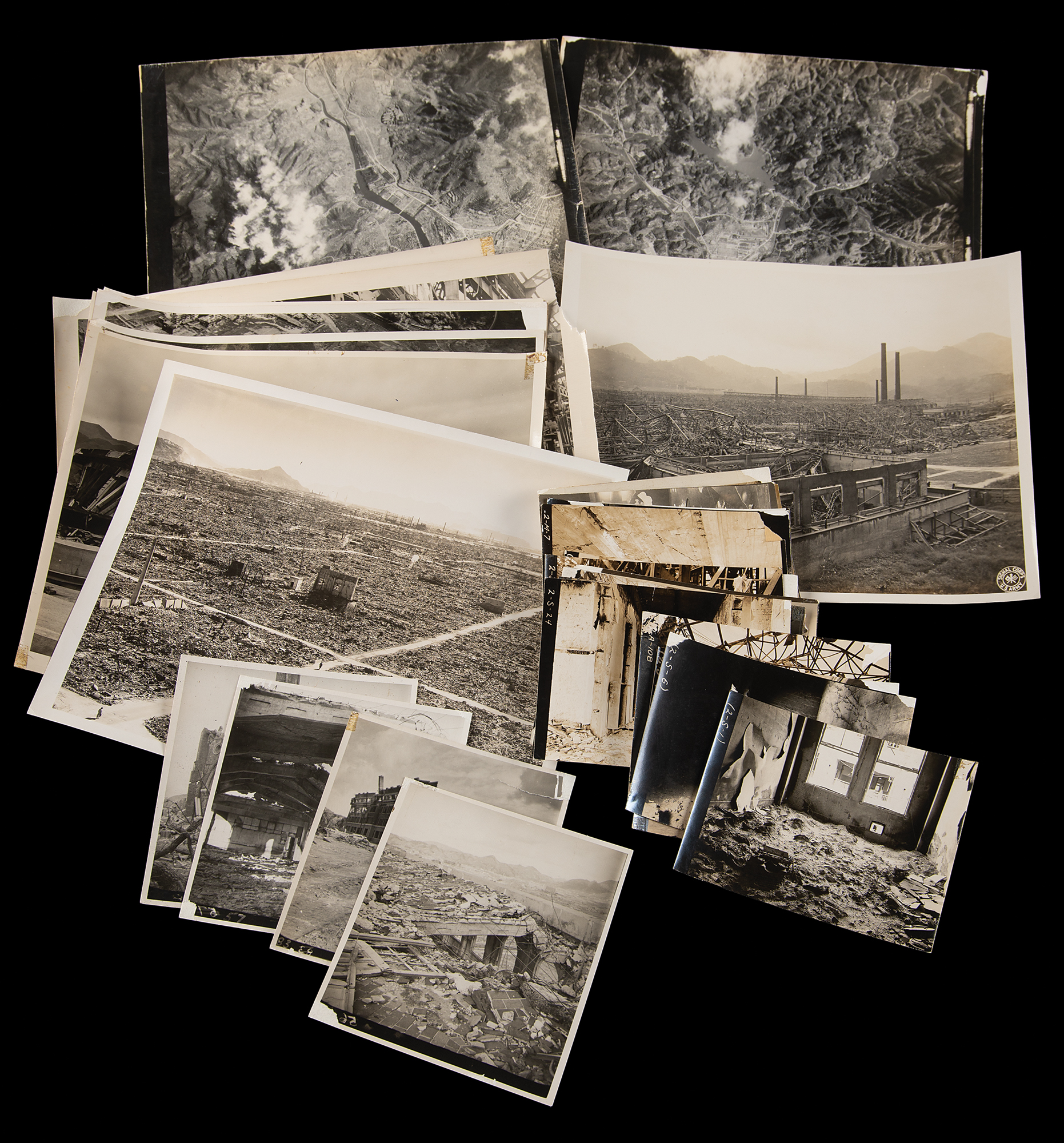
Ranging from about 5 x 3.75 to 10 x 9.25, the photographs are led by four 4.5 x 5 technical views, each annotated on the reverse with its building designation and distance from ground zero. One captures the shattered brick facade of the Urakami Cathedral at 1,750 feet, noted as “R.C. Cathedral. Massive load-bearing brick,” while another shows a three-story reinforced-concrete school at 1,500 feet, “showing deflection of upper part away from zero,” and two more record the buckled concrete roof of a hall at the same distance. From above, two 10 x 9.25 vertical reconnaissance views, each penciled “Nagasaki” on the reverse, take in the city and its harbor, joined by four 10 x 8 Army Air Forces aerials from reconnaissance series 58575, some backstamped “Official Photograph Furnished By Headquarters, A.A.F. AC/AS-2” and one captioned “Group 16 Shiroyama School 1700 ft W. of GZ.” Five further 10 x 8 prints return to ground level, surveying the leveled Urakami district and the wreckage of steelworks and concrete structures, one bearing a Signal Corps blindstamp. The remaining 21 photographs, each 5 x 3.75 and most bearing hand-lettered negative numbers, move inside the ruined factories, among collapsed ceilings, toppled machinery, and buckled roof trusses, and include a heat-blistered fragment measured against a rule and a copy print, marked “2-COPY-73,” of the Gothic interior of what appears to be the Urakami Cathedral before its destruction.
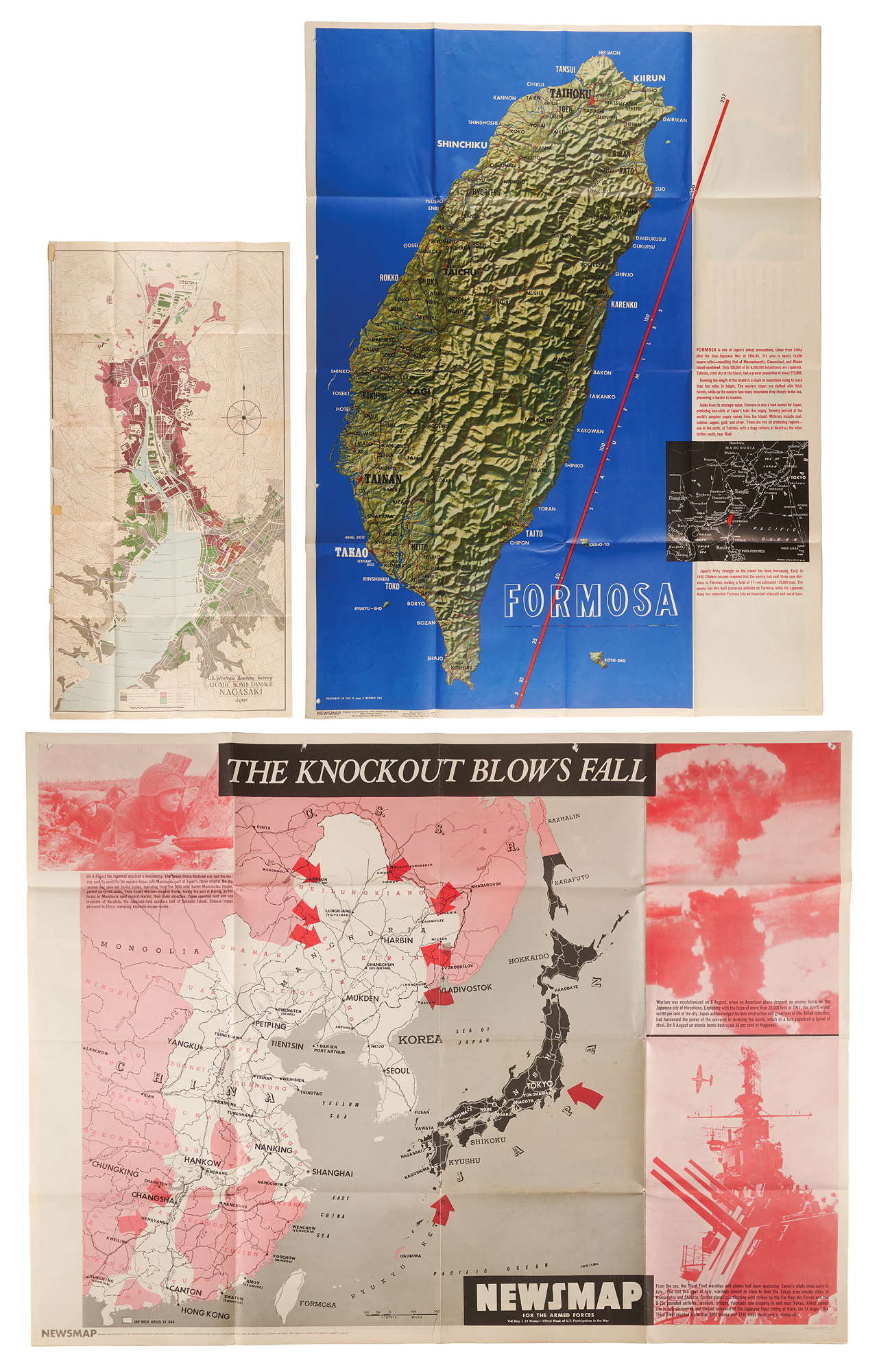
The archive’s three large-format pieces show the bombing from two vantage points: as the Army reported it to servicemen in the field, and as American investigators mapped it a year later. The two double-sided “Newsmap for the Armed Forces” posters, each about 47 x 35, are consecutive weekly issues of the wall maps posted at bases and aboard ships. The August 13, 1945, issue, “Potsdam Briefs,” reports the bombing of Hiroshima with the callout “Man has harnessed the power of the sun and stars in the atomic bomb. It is a weapon which could end all war—or all mankind,” and is backed by an OSS relief map of Formosa; the August 20 issue, “The Knockout Blows Fall,” charts the war’s final week, from the Soviet invasion of Manchuria to the destruction of Hiroshima and Nagasaki. The 24 x 47 color map “U.S. Strategic Bombing Survey Atomic Bomb Damage Nagasaki Japan,” published by the Army Map Service in August 1946, records the aftermath in 1,000-foot rings around the “Zero” point, keying sites such as the Urakami Cathedral, Shiroyama School, and the Mitsubishi Steel and Arms Works, several of which appear in the photographs.
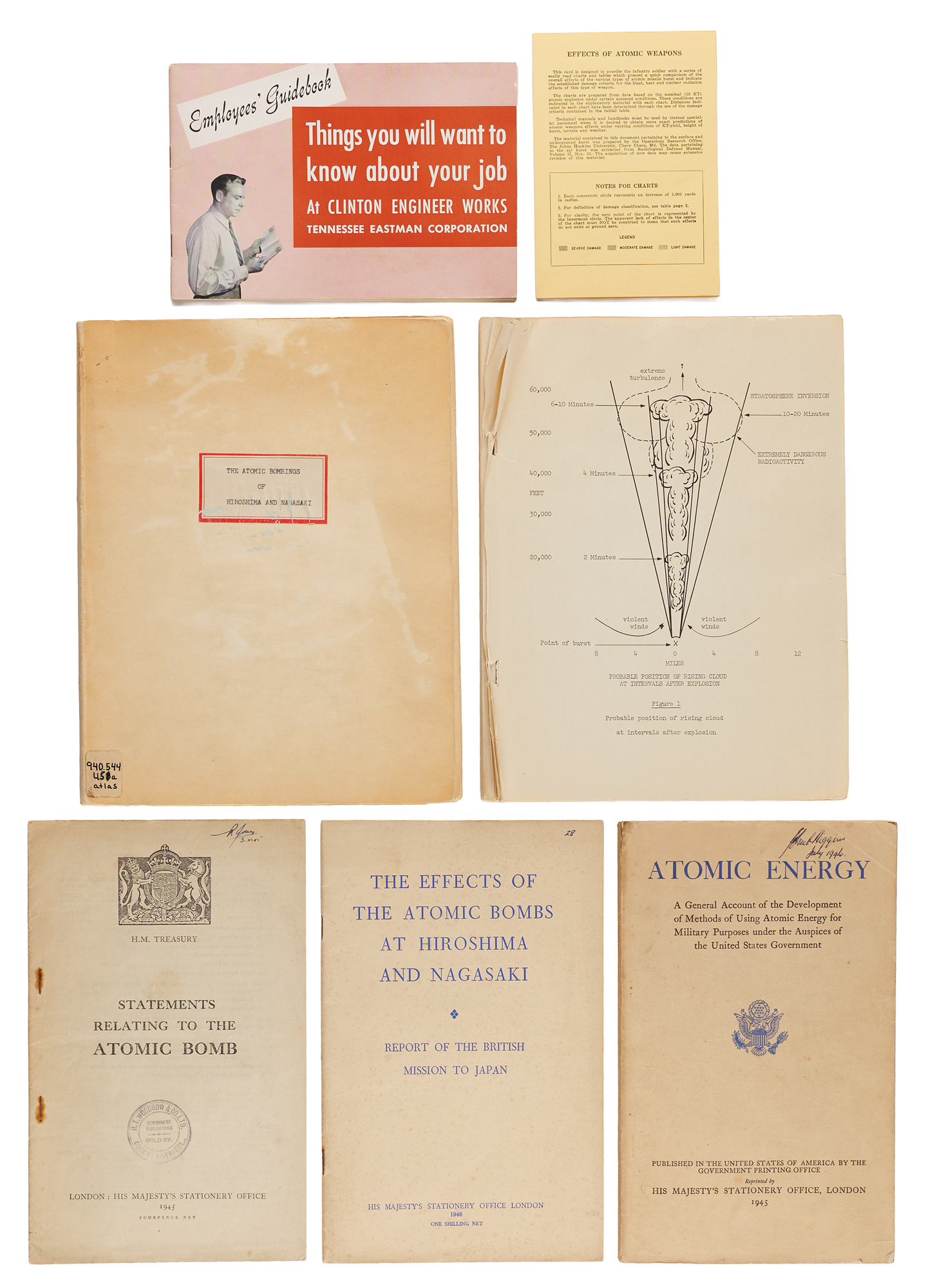
The publications trace the bomb’s story from its making to its aftermath, as the American and British governments explained it to workers, soldiers, and the public. They include two copies of the Manhattan Engineer District’s report “The Atomic Bombings of Hiroshima and Nagasaki,” one an ex-library copy and the other, lacking covers, retaining its damage photographs and folding maps of both cities; three British government publications from His Majesty’s Stationery Office, among them the British edition of the Smyth Report and the British Mission to Japan’s report on the bombs’ effects; an Army “Effects of Atomic Weapons” field card for infantry soldiers; and a Clinton Engineer Works employee guidebook from Tennessee Eastman Corporation. In overall very good to fine condition, with various wear, curling, and some silvering to photographs; short tears, foxing, and light staining to the maps and Newsmaps; and library markings and general wear to the publications, one lacking covers.

