Sold For $656
*Includes Buyers Premium
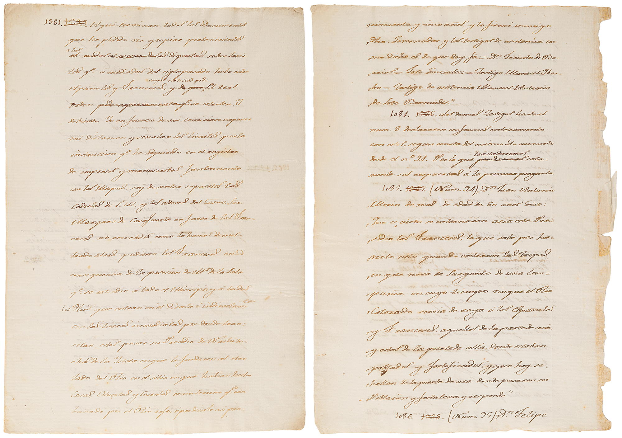
The other page, in part (translated): "1361. Here end all the documents that I have been able to see and copy, which relate to the tumultuous disputes over boundaries that took place in the middle of the past century between the Spaniards and the French, which notices the royal order requires to be collected. By the terms of my commission, I am obligated to express my conclusion and designate the limits from the information that I have acquired in the examination of the books and manuscripts, together with the maps….to wit:…that all the rivers which entered the Mississippi belonged to them (France), together with all the other waters, permanent as well as existent only during the rainy season, which enter or leave the Mississippi and the rivers that flow into the latter. In this manner the waters that might issue from these rivers thereby appropriated to France the lands which they watered. Likewise all the lands that might send their rivers or rain waters to some French river were regarded accordingly as a part of the [lands of which] Monsieur de la Salle had taken possession. This is seen clearly in the case of the Missouri, for they appropriated it because it enters the Mississippi.". In overall fine condition, with some loss along one edge, affecting nothing.
In 1808, Father José Antonio Pichardo was appointed to head a commission to investigate and ascertain the historic boundary between Louisiana and Texas. President Thomas Jefferson had claimed that the Louisiana Purchase extended to the Rio Grande. Pichardo's erudite study, intended to counter such claims, was based on mountains of original sources. It is said that Father Pichardo worked for four years, 'uninterruptedly night & day,' without even leaving [his] room' to complete his monumental treatise. The 'final draft' of the original manuscript of 3000 folio pages resides in the National Archives of Mexico.