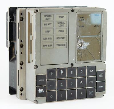
Now At: $238,799 (40 bids)
Estimate: $300,000+
Ends on 04/25
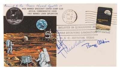
Now At: $69,000 (19 bids)
Estimate: $100,000+
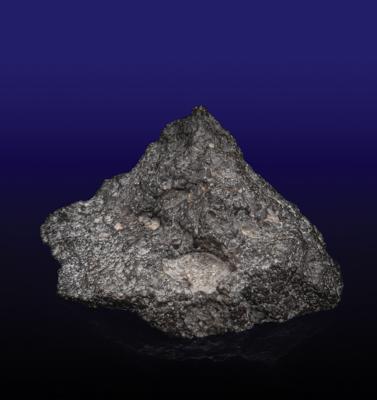
Now At: $43,301 (8 bids)
Estimate: $80,000+
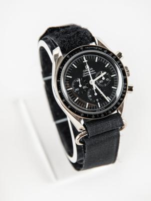
Now At: $21,438 (20 bids)
Estimate: $30,000+
Now At: $16,838 (28 bids)
Now At: $15,197 (21 bids)
Estimate: $20,000+
Now At: $11,136 (14 bids)
Estimate: $10,000+
Now At: $10,721 (9 bids)
Estimate: $40,000+
We use cookies on this site to improve your experience. By using this site, you accept our use of cookies. To learn more, please see our Privacy Policy.