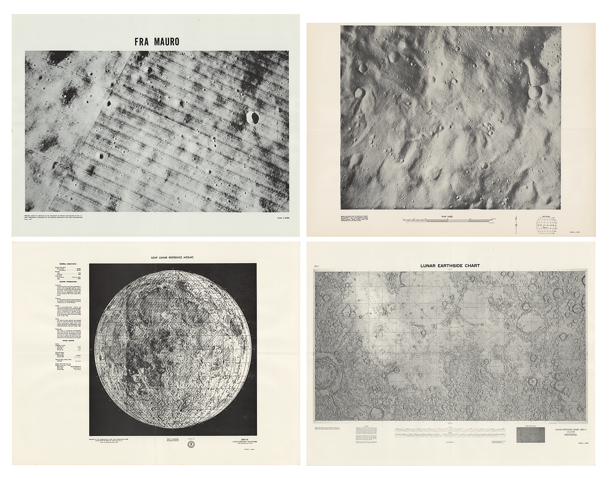
Four official printings of lunar maps: one entitled "LEM-1A, Lunar Earthside Hemisphere, 3rd Edition, July 1967," 22 x 17, published by the Aeronautical Chart and Information Center from a mosaic compiled in November 1962; one entitled "Lunar Earthside Chart (LEC-1), Scale 1:5,000,000, 1st Edition July 1968, Provisional," 22 x 17, created using Lunar Astronautical Chart (LAC) map data and images from Lunar Orbiters III and IV; one 1:10,000 scale image of the Fra Mauro region of the moon, 22 x 17, prepared under the direction of the Department of Defense; and one untitled and undated 1:8,000 scale image of a section of the lunar surface, 22 x 16.25, published under the direction of the U.S. Army Topographic Command. Folded and in overall fine condition.
We use cookies on this site to improve your experience. By using this site, you accept our use of cookies. To learn more, please see our Privacy Policy.